
Elevation 227 m Population 2,620 (2010) Zip code 46797 | GNIS feature ID 0453616 Area 69.13 km² Local time Wednesday 11:10 AM | |
 | ||
Weather -5°C, Wind NW at 23 km/h, 56% Humidity | ||
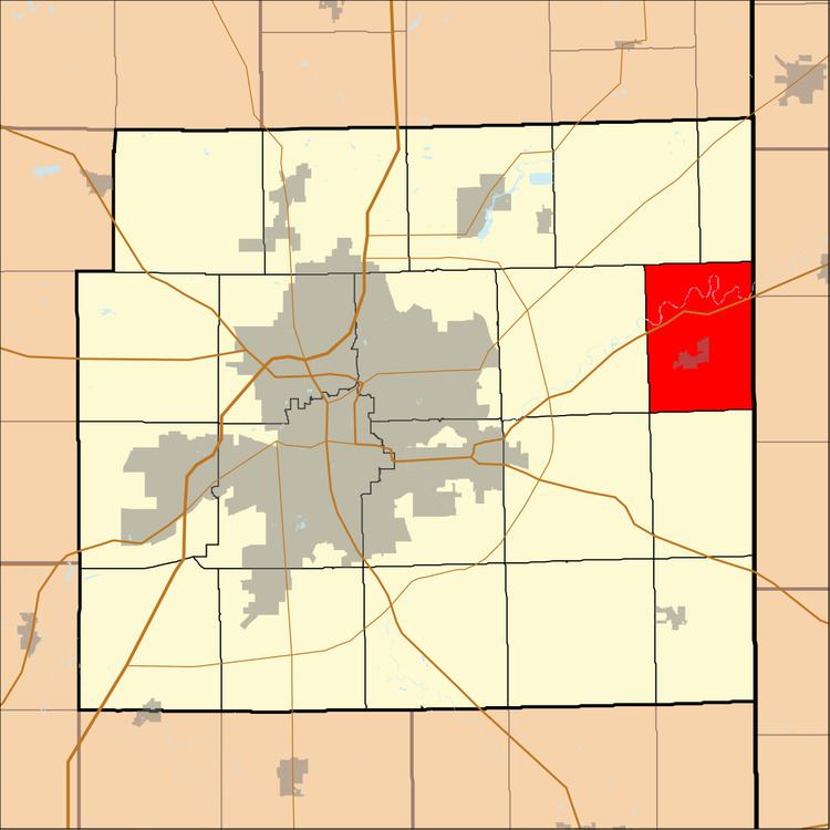
Maumee Township is one of twenty townships in Allen County, Indiana, United States. As of the 2010 census, its population was 2,620.
Contents
- Map of Maumee Township IN 46797 USA
- Geography
- Cities towns villages
- Unincorporated towns
- Adjacent townships
- Cemeteries
- Major highways
- School districts
- Political districts
- References
Map of Maumee Township, IN 46797, USA
Geography
According to the United States Census Bureau, Maumee Township covers an area of 26.69 square miles (69.13 km2); of this, 26.37 square miles (68.30 km2) is land and 0.32 square miles (0.83 km2), or 1.19 percent, is water.
Cities, towns, villages
Unincorporated towns
(This list is based on USGS data and may include former settlements.)
Adjacent townships
Cemeteries
The township contains Diehl Cemetery.
Major highways
School districts
Political districts
References
Maumee Township, Allen County, Indiana Wikipedia(Text) CC BY-SA