 | ||
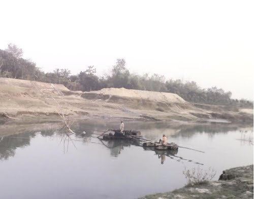
The Mathabhanga River (Bengali: মাথাভাংগা নদী).
Early history
The Mathabhanga or Hauli, whose lower reach is called the Haulia, leaves the Padma about ten miles below the point where the Jalangi leaves from it.
It flows first in a southeasterly direction as far as Hatboalia, where it bifurcates one branch, which is thereafter known as the Kumar or Pangasi, it then proceeds in the same direction, past Alamdanga, up to the boundary of the district which it forms for a few miles until it passes into Jessore, whilst the other branch pursues a very tortuous course. The general trend of which is to the south, until, after passing Chuadanga it reaches Krishnaganj (in India). There a second bifurcation takes place, the two resulting streams being known as the Churni and the Ichhamati, and the name of the parent river being lost. It borderline's between India and Bangladesh.
