
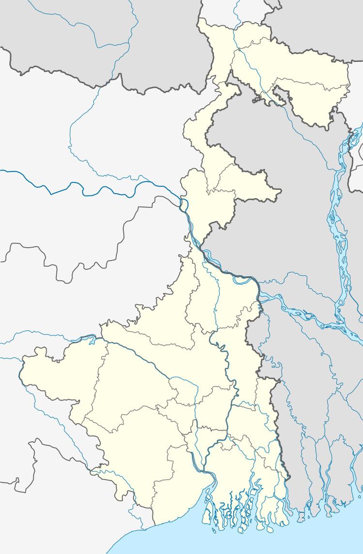
Country India District Cooch Behar Lok Sabha constituency Cooch Behar | State West Bengal Time zone IST (UTC+5:30) Area 314.5 km² | |
 | ||
Vidhan Sabha constituency Mathabhanga, Sitalkuchi | ||
Mathabhanga I (community development block) is an administrative division in Mathabhanga subdivision of Cooch Behar district in the Indian state of West Bengal. Mathabhanga and Ghoksadanga police stations serve this block. Headquarters of this block is at Mathabhanga.
Contents
Geography
Jorpatki, a constituent panchayat of this block, is located at 26°17′28″N 89°13′53″E.
Mathabhanga I community development block has an area of 314.50 km2.
Gram panchayats
Gram panchayats of Mathabhanga I block/ panchayat samiti are: Bairagirhat, Gopalpur, Hazaraht I, Hazaraht II, Jorpatki, Kedarhat, Kurshamari, Nayarhat, Pachagarh and Sikarpur.
Demographics
As per 2011 Census of India Mathabnga I CD Bloc had a total population of 218,191, all of which were rural. There were 112,497 males and 105,694 females. Scheduled Castes numbered 150,057 and Scheduled Tribes numbered 140.
Literacy
As per 2011 census the total number of literates in Mathabhanga I CD Block was 134,517, out of which 76,500 were males and 58,017 were females.