
Area 4,175 km² Population 36,592 (2013) | Congressional district 27th Website www.co.matagorda.tx.us Founded 1836 County seat Bay City | |
 | ||
Points of interest | ||
Matagorda county texas beaches and travel commercial
Matagorda County (/ˈmætəˈɡɔərdə/) is a county located in the U.S. state of Texas. As of the 2010 census, the population was 36,702. According to data from Applied Geographic Solutions, the 2016 population was 36,807. Its county seat is Bay City, not to be confused with the larger Baytown in Harris and Chambers Counties. Matagorda County is named for the canebrakes that once grew along the coast (matagorda is a Spanish word meaning "thick bush").
Contents
- Matagorda county texas beaches and travel commercial
- Map of Matagorda County TX USA
- Geography
- Major highways
- Adjacent counties
- National protected areas
- Demographics
- Economy
- Education
- Cities
- Census designated places
- Notable people
- References
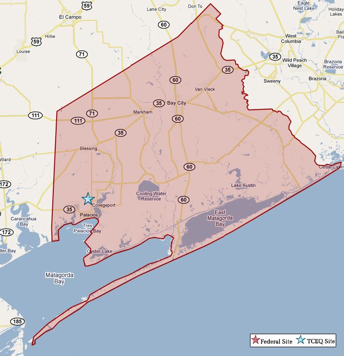
Map of Matagorda County, TX, USA
Matagorda County comprises the Bay City, TX Micropolitan Statistical Area, which is also included in the Houston-The Woodlands, TX Combined Statistical Area.
Geography
According to the U.S. Census Bureau, the county has a total area of 1,613 square miles (4,180 km2), of which 1,100 square miles (2,800 km2) is land and 512 square miles (1,330 km2) (32%) is water. The water area includes Matagorda Bay. It borders the Gulf of Mexico.
Major highways
Adjacent counties
National protected areas
Demographics
As of 2016 data from Applied Geographic Solutions, there were 36,807 people, 14,425 households, and 9,824 families residing in the county. There were 19,267 housing units in the county with 14,425 occupied. The racial makeup of the county was 69.93% White, 11.56% Black or African American, 0.68% Native American, 2.24% Asian, 0.02% Pacific Islander, 13.02% from other races, and 2.53% from two or more races. 40.42% of the population were Hispanic or Latino of any race.
In the county, the population was spread out with 27.85% under the age of 20, 12.95% from 20 to 29, 11.47% from 30 to 49, 20.56% from 50 to 64, and 16.42% who were 65 years of age or older. The median age was 36.97 years. The median income for a household in the county was $43,046.
Economy
Rice is grown extensively in Matagorda County, as well as St. Augustine and other turf grass. In addition to a wealth of offshore oil rigs and natural gas extraction facilities all over the county, two petrochemical processing plants (Celanese and Equistar) and the South Texas Project nuclear power plant operate within the county. Matagorda County has secluded, extensive forests, wetlands, prairie and coastal regions. The gulf coast floodplain has several conditions conducive to a variety of ecosystems and recreational activities evident by the highest count of migrating birds in the United States. Fishing (on & offshore), hunting and scuba diving are large parts of the recreation industry due to the Colorado river, the forests and Matagorda bay. As well as having the Rio Colorado Golf Course and a birdwatching park on the Colorado River near the State Highway 35 bridge, there are a significant number of wildlife preserves around the county, a portion of which is land bought for that purpose by the two major petrochemical refineries and nuclear plant in the county.
Education
School districts serving Matagorda County include: