
Max length 1.9 km | City Stonington Max width 1.3 km | |
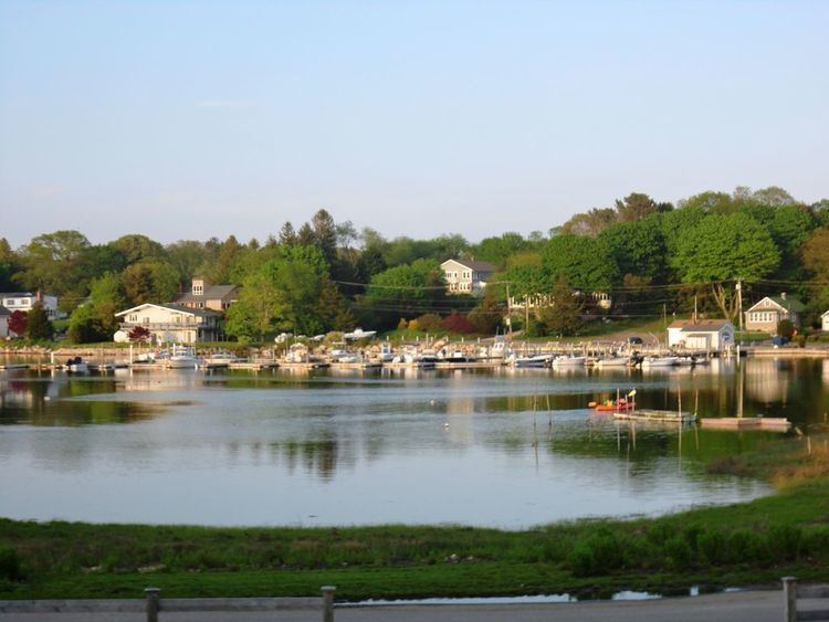 | ||
Ender s island mason s island and mystic ct
Mason's Island (Algonquin: Chippachaug - meaning: a separated place); an inhabited island at the mouth of the Mystic River, in Stonington, Connecticut. The island was named after Major John Mason who was granted the island in recognition for his military services in the 1637 Pequot War in nearby Mystic. This island remained in the Mason family for over 250 years from 1651 to 1913. Since then the Allyn family have been stewards of this special place and most of the island is owned by the Mason's Island Company and regulated by property deeds under the Mason's Island Property Owners Association (MIPOA). The Mason's Island Marina and the Mystic River Marina are located on the north end of the island. Mason's Island is connected to the mainland by a causeway.
Contents
- Ender s island mason s island and mystic ct
- Map of Masons Island Stonington CT 06355 USA
- Geography
- References
Map of Mason's Island, Stonington, CT 06355, USA
Geography
The island is approximately 600 acres in area overall, being 1.2 miles (2 km) in length North-South and 0.8 miles (1.2 km) in width East-West and is formed by solid granite bedrock. A quarry supplying rough granite for breakwaters (e.g. at Newport, Rhode Island) was located at Pine Hill on the northwestern side of the island.
There is a 47-acre (190,000 m2) nature preserve located in about the middle of the island. This nature preserve features a large salt marsh with surrounding woods that can be accessed by multiple trails. In the southern end of the island there is a large fresh water pond that was formerly used for harvesting ice.