
Country Canada Rural Municipality Humboldt No. 370 Local time Tuesday 3:23 AM Area code 306 | Region Saskatchewan Time zone CST Province Saskatchewan | |
 | ||
Post office 1904-01-01
(closed 1970-08-14) Weather -13°C, Wind SE at 19 km/h, 85% Humidity | ||
Marysburg is a hamlet in Saskatchewan located along Highway 756. The hamlet is an un-incorporated place within the Rural Municipality of Humboldt. It is located 16 k (10 miles) north of Humboldt.
Contents
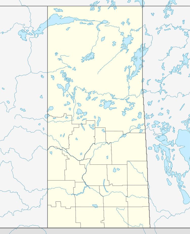
Map of Marysburg, SK, Canada
History
From January 1, 1904 until May 1, 1924 it was referred to as Dead Moose Lake.
Attractions
The hamlet is home to one municipal heritage property, the Marysburg Assumption Church, originally built in 1921 the brick-clad church is of a Romanesque Revival style featuring two towers. The church can hold nearly 400 people and makes extensive use of stain glass. Thirty two paintings by the artist Berthold Imhoff were purchased in 1948 to decorate the church. The church building hosts the Marysburg Summer Festival of the Arts. A program to restore the historic church is in progress.
A sculpture in the village called The Watching Woman was completed in 2004.
Sports
Marysburg is also home to the Marysburg Royals Senior Baseball team that was established in 1918. They play every summer on the beautiful ball diamond that sits just east of the Assumption Parish. 2012 will be the Royals 94th consecutive year of baseball. They currently play in the Saskatoon Senior Baseball League and are the 2011 Senior AA Provincial Champions.