
Country Canada Incorporated (Village) 1907 Population 347 (2006) | Census division 1 Post office Founded 1896 Area 2.69 km² Area code 306 Local time Tuesday 1:08 AM | |
 | ||
Region Southeastern Saskatchewan Weather -14°C, Wind SE at 21 km/h, 76% Humidity | ||
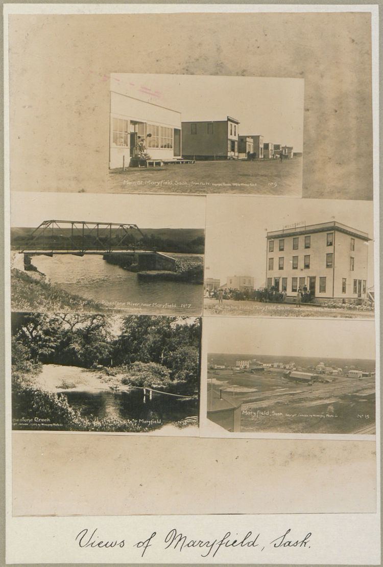
Maryfield is a village in Southeastern Saskatchewan, Canada. The town lies south of the intersection of Highway 48 and Highway 600 and is about 8 km west of the Manitoba border. It is a junction point on the Canadian National Railway between the main line heading northwest towards Regina and a branch line heading southwest toward Carlyle and Lampman.
Contents
Map of Maryfield, SK, Canada
Notable residents
References
Maryfield, Saskatchewan Wikipedia(Text) CC BY-SA