
County Somerset Time zone Eastern (EST) (UTC-5) Elevation 79 m | ZIP code 08836 Local time Monday 8:53 PM | |
 | ||
Weather -1°C, Wind SE at 11 km/h, 53% Humidity Restaurants Gabriel’s Fountain Restaurant, Lombardi Pizza Co, 22 West Tap And Grill, Top O'Th' Hill, Chimney Rock Inn | ||
Martinsville is an unincorporated community and census-designated place (CDP) located within Bridgewater Township, in Somerset County, New Jersey, United States. As of the 2010 United States Census, the CDP's population was 11,980.
Contents
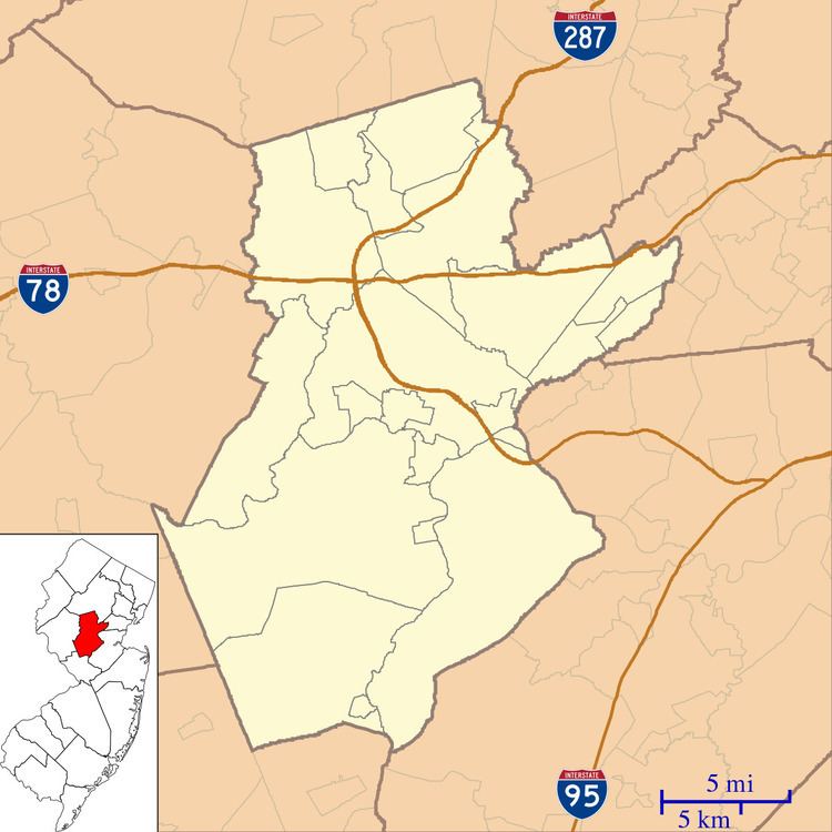
- Map of Martinsville Bridgewater NJ USA
- History
- Geography
- Census 2010
- Points of interest
- Education
- Notable people
- References
Map of Martinsville, Bridgewater, NJ, USA
Martinsville is located in northeastern Bridgewater near Warren Township; the 08836 ZIP code also takes in the southern extension of Bernards Township. It is an affluent, predominantly residential area, though it does have its own commercial center along Washington Valley Road, and its own post office.
History
The Middlebrook encampment was a seasonal encampment of the Continental Army during the American Revolutionary War near Martinsville that straddled the ridge of the First Watchung Mountains. Its position provided a natural fortress not only protecting the Continental Army, but also overlooking the plains towards New Brunswick where the British forces were stationed in 1777.
Tradition holds that it was at the Middlebrook encampment that the first official flag of the United States was unfurled, after a law to adopt a national flag had been passed by Congress on June 14, 1777. By special order of Congress, a Thirteen Star Flag is flown 24 hours a day at the Washington Camp Ground, part of the former Middlebrook encampment, in Bridgewater. Since 1889, the first hoisting of the flag is commemorated annually each July 4 with a changing of the flag, a reading of the United States Declaration of Independence, and the delivery of an historical address.
Geography
According to the United States Census Bureau, Martinsville had a total area of 12.398 square miles (32.111 km2), including 12.322 square miles (31.914 km2) of land and 0.076 square miles (0.198 km2) of water (0.62%).
Census 2010
The 2010 United States Census counted 11,980 people, 4,331 households, and 3,491 families residing in the CDP. The population density was 972.3 per square mile (375.4/km2). The CDP contained 4,461 housing units at an average density of 362.0 per square mile (139.8/km2). The racial makeup of the CDP was 88.45% (10,596) White, 1.31% (157) Black or African American, 0.04% (5) Native American, 8.20% (982) Asian, 0.00% (0) Pacific Islander, 0.42% (50) from other races, and 1.59% (190) from two or more races. Hispanics or Latinos of any race were 3.81% (457) of the population.
Out of a total of 4,331 households, 36.2% had children under the age of 18 living with them, 71.7% were married couples living together, 6.4% had a female householder with no husband present, and 19.4% were non-families. 16.6% of all households were made up of individuals, and 10.0% had someone living alone who was 65 years of age or older. The average household size was 2.75 and the average family size was 3.10.
In the CDP, 24.4% of the population were under the age of 18, 5.8% from 18 to 24, 18.2% from 25 to 44, 35.2% from 45 to 64, and 16.5% who were 65 years of age or older. The median age was 45.9 years. For every 100 females the census counted 95.2 males, but for 100 females at least 18 years old, it was 92.4 males.
Points of interest
Education
The Pingry School's upper division for grades 6 to 12 is located in Martinsville.
Little Friends of Jesus Nursery School (preschool, non-parochial) operate under the supervision of Roman Catholic Diocese of Metuchen.
Notable people
People who were born in, residents of, or otherwise closely associated with Martinsville include: