
FIPS code 19-49845 Area 88 ha Zip code 52305 Local time Monday 2:51 PM | Time zone Central (CST) (UTC-6) GNIS feature ID 0458825 Elevation 277 m Population 256 (2013) Area code 319 | |
 | ||
Weather -1°C, Wind N at 24 km/h, 66% Humidity | ||
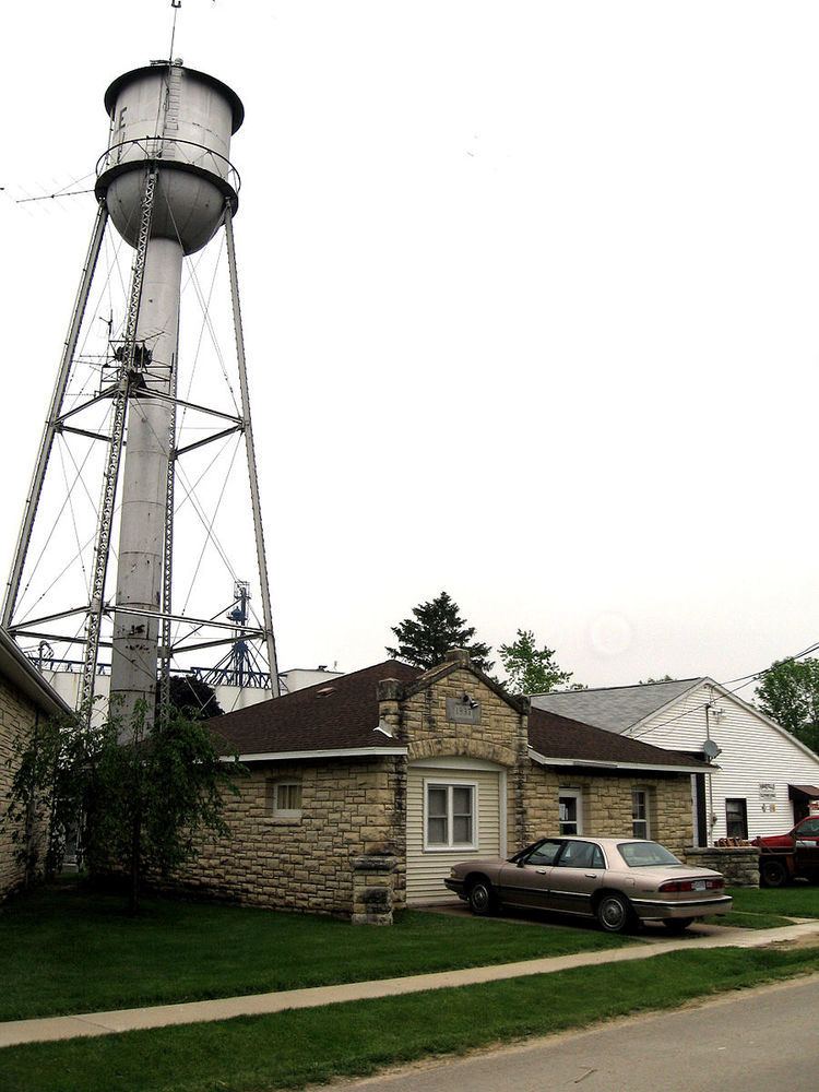
Martelle iowa
Martelle is a city in Jones County, Iowa, United States. The population was 255 at the 2010 census. It is part of the Cedar Rapids Metropolitan Statistical Area.
Contents
Map of Martelle, IA, USA
History
Martelle was platted in 1872 when the Chicago, Milwaukee, St. Paul and Pacific Railroad was being built through the neighborhood.
Geography
Martelle is located at 42°1′14″N 91°21′30″W (42.020421, -91.358314).
According to the United States Census Bureau, the city has a total area of 0.34 square miles (0.88 km2), all of it land.
2010 census
As of the census of 2010, there were 255 people, 114 households, and 81 families residing in the city. The population density was 750.0 inhabitants per square mile (289.6/km2). There were 122 housing units at an average density of 358.8 per square mile (138.5/km2). The racial makeup of the city was 97.6% White, 1.6% Asian, and 0.8% from two or more races. Hispanic or Latino of any race were 0.8% of the population.
There were 114 households of which 19.3% had children under the age of 18 living with them, 61.4% were married couples living together, 7.0% had a female householder with no husband present, 2.6% had a male householder with no wife present, and 28.9% were non-families. 20.2% of all households were made up of individuals and 10.5% had someone living alone who was 65 years of age or older. The average household size was 2.24 and the average family size was 2.59.
The median age in the city was 45.7 years. 16.5% of residents were under the age of 18; 7.4% were between the ages of 18 and 24; 23.5% were from 25 to 44; 31.4% were from 45 to 64; and 21.2% were 65 years of age or older. The gender makeup of the city was 48.2% male and 51.8% female.
2000 census
As of the census of 2000, there were 280 people, 109 households, and 85 families residing in the city. The population density was 849.8 people per square mile (327.6/km²). There were 115 housing units at an average density of 349.0 per square mile (134.6/km²). The racial makeup of the city was 99.29% White, 0.36% Asian, and 0.36% from two or more races.
The median income for a household in the city was $47,500, and the median income for a family was $50,313. Males had a median income of $32,500 versus $21,964 for females. The per capita income for the city was $20,134. About 2.5% of families and 2.9% of the population were below the poverty line, including 2.5% of those under the age of eighteen and none of those sixty five or over.