
- elevation 1,283 ft (391 m) - elevation 1,142 ft (348 m) Country United States of America | - location Ansonia Mouth Pine Creek | |
 | ||
- location Wellsboro, Tioga State Forest Similar Slate Run, Chillisquaque Creek, Pine Creek Gorge, Brodhead Creek, Leonard Harrison State Park | ||
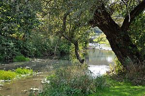
Marsh Creek is a 13.0-mile-long (20.9 km) tributary of Pine Creek in Pennsylvania in the United States.
Map of Marsh Creek, Pennsylvania, USA
Marsh Creek begins in the borough of Wellsboro, at the confluence of Kelsey Creek, Morris Branch, and Charleston Creek. Marsh Creek flows north, then west, and joins Pine Creek just downstream of Ansonia in Tioga County. A small flood in 1993 ruined a marginal amount of farmland.
References
Marsh Creek (Pine Creek) Wikipedia(Text) CC BY-SA