
- summer (DST) CDT (UTC-5) | Local time Monday 11:23 AM | |
 | ||
Weather -1°C, Wind E at 18 km/h, 94% Humidity Area 102.4 km² (101 km² Land / 145 ha Water) | ||
Marrowbone Township is located in Moultrie County, Illinois. As of the 2010 census, its population was 1,730 and it contained 751 housing units.
Contents
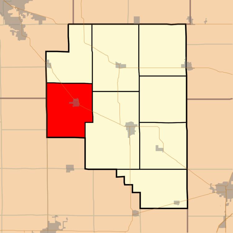
Map of Marrowbone Township, IL, USA
History
What is now Marrowbone Twp. was part of Shelby County when first settled in 1828. Upon establishment of Moultrie County in 1843, the township formed part of Thomason Precinct. Marrowbone Twp. was established on November 6, 1866, when the County adopted townships as its basic subdivision.
Geography
According to the 2010 census, the township has a total area of 39.54 square miles (102.4 km2), of which 38.98 square miles (101.0 km2) (or 98.58%) is land and 0.56 square miles (1.5 km2) (or 1.42%) is water.
References
Marrowbone Township, Moultrie County, Illinois Wikipedia(Text) CC BY-SA