
Population 1,337 (2011 census) State electorate(s) Nicklin Postal code 4561 | Postcode(s) 4561 | |
 | ||
Location 113 km (70 mi) N of Brisbane | ||
Maroochy River is a hinterland locality in the Sunshine Coast Region, Queensland, Australia. In the 2011 census, Maroochy River had a population of 1,337 people.
Contents
Map of Maroochy River QLD 4561, Australia
Geography
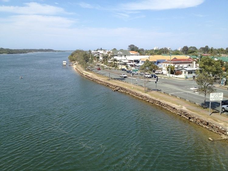
The Maroochy River meanders from west to east through the locality. The surrounding river flats are cleared and primarily used for farming. The hillsides in the north-west and south-east of the locality are primarily used for residential purposes and retain natural bushland. Coolum Creek forms the eastern boundary of the locality.
Heritage listings
Maroochy River has a number of heritage-listed sites, including:
References
Maroochy River, Queensland Wikipedia(Text) CC BY-SA