
Country United States Elevation 335 m Local time Monday 7:55 AM | GNIS feature ID 0474522 Area 144.6 km² Population 877 (2010) | |
 | ||
Weather -3°C, Wind NW at 35 km/h, 66% Humidity | ||
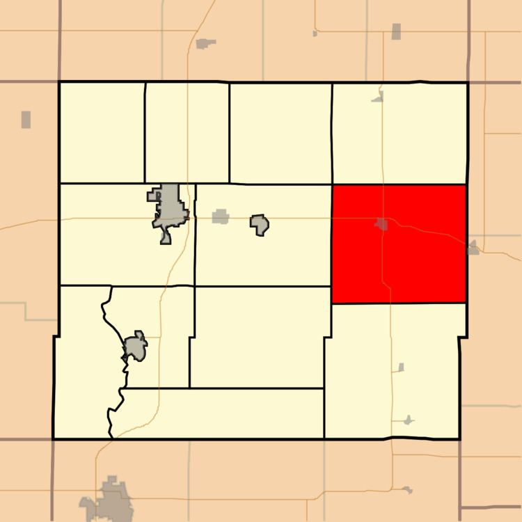
Marmaton Township is one of twelve townships in Allen County, Kansas, United States. As of the 2010 census, its population was 877. The majority of inhabitants are farmers.
Contents
Map of Marmaton, KS, USA
Geography
Marmaton Township covers an area of 55.8 square miles (144.6 km2) and contains one incorporated settlement, Moran. According to the USGS, it contains one cemetery, Moran.
The stream of Sweet Branch runs through this township.
References
Marmaton Township, Allen County, Kansas Wikipedia(Text) CC BY-SA