
Country United States County Burlington Time zone Eastern (EST) (UTC-5) Elevation 29 m Zip code 08053 Area code Area code 856 | FIPS code 3444100 Area 8.378 km² Population 10,260 (2000) | |
 | ||
Restaurants Marlton Tavern, Gaetano's Steaks & Subs, Franco's Restaurant, The Turning Point of M, Marlton Diner | ||
Marlton is an unincorporated community and census-designated place (CDP) located within Evesham Township in New Jersey, United States. As of the 2010 United States Census, Marlton's population was 10,133.
Contents
- Map of Marlton Evesham Township NJ USA
- History
- Landmarks
- Geography
- Census 2010
- Census 2000
- Transportation
- Notable people
- References
Map of Marlton, Evesham Township, NJ, USA
History
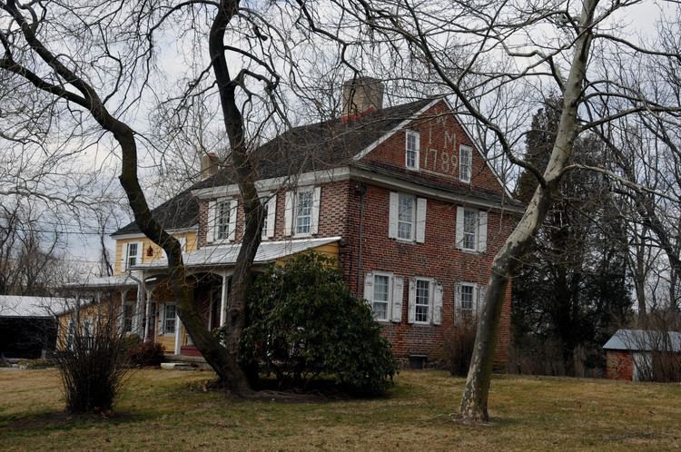
Marlton was founded by Welsh and English farmers beginning in 1676. The name Marlton first appeared in the early 19th century. The name is derived from marl clay, which is commonly found in the local soil. The discovery of the marl content helped local business and farmers, and caused the first "building boom", occurring in the 1830s and 1840s. Marl continued to be excavated in Marlton until 1930, when the pits were shut down. The marl was sold locally, and shipped directly, by rail to Burlington City, Philadelphia, Pennsylvania, and Atlantic City, for reshipping as an alternate for green manure, water treatment amendment, and semi-flowable fill.
Landmarks
PH-32, a Project Nike missile base from the Cold War, was located near Cherokee High School.
Geography
According to the United States Census Bureau, Marlton had a total area of 3.235 square miles (8.378 km2), including 3.227 square miles (8.357 km2) of it is land and 0.008 square miles (0.021 km2) of water (0.25%).
Census 2010
The 2010 United States Census counted 10,133 people, 4,126 households, and 2,653 families residing in the CDP. The population density was 3,140.3 per square mile (1,212.5/km2). The CDP contained 4,343 housing units at an average density of 1,345.9 per square mile (519.7/km2). The racial makeup of the CDP was 86.57% (8,772) White, 4.27% (433) Black or African American, 0.15% (15) Native American, 6.10% (618) Asian, 0.01% (1) Pacific Islander, 1.30% (132) from other races, and 1.60% (162) from two or more races. Hispanics or Latinos of any race were 4.41% (447) of the population.
Out of a total of 4,126 households, 28.2% had children under the age of 18 living with them, 50.7% were married couples living together, 10.2% had a female householder with no husband present, and 35.7% were non-families. 29.9% of all households were made up of individuals, and 9.2% had someone living alone who was 65 years of age or older. The average household size was 2.45 and the average family size was 3.12.
In the CDP, 21.4% of the population were under the age of 18, 7.5% from 18 to 24, 28.7% from 25 to 44, 28.7% from 45 to 64, and 13.6% who were 65 years of age or older. The median age was 40.3 years. For every 100 females the census counted 92.2 males, but for 100 females at least 18 years old, it was 90.3 males.
Census 2000
As of the 2000 United States Census there were 10,260 people, 4,097 households, and 2,728 families residing in Marlton. The population density was 3,171.0 people per square mile (1,222.7/km2). There were 4,203 housing units at an average density of 1,299.0/sq mi (500.9/km2). The racial makeup of Marlton was 91.32% White, 2.88% Black or African American, 0.14% Native American, 4.18% Asian, 0.01% Pacific Islander, 0.59% from other races, and 0.89% from two or more races. Hispanic or Latino of any race were 2.34% of the population.
There were 4,097 households out of which 30.7% had children under the age of 18 living with them, 54.3% were married couples living together, 9.3% had a female householder with no husband present, and 33.4% were non-families. 28.4% of all households were made up of individuals and 7.8% had someone living alone who was 65 years of age or older. The average household size was 2.49 and the average family size was 3.12.
In Marlton the population was spread out with 23.5% under the age of 18, 6.6% from 18 to 24, 34.8% from 25 to 44, 23.2% from 45 to 64, and 12.0% who were 65 years of age or older. The median age was 37 years. For every 100 females there were 93.8 males. For every 100 females age 18 and over, there were 91.2 males.
The median income for a household in Marlton was $52,271, and the median income for a family was $61,217. Males had a median income of $46,905 versus $31,798 for females. The per capita income for Marlton was $25,145. About 2.1% of families and 3.5% of the population were below the poverty line, including 3.6% of those under age 18 and 2.9% of those age 65 or over.
Transportation
The 406 route provides bus service to and from Philadelphia.
The Marlton Circle was a traffic circle at the intersection of Route 70 and Route 73. In 2010, the circle was completely eliminated and replaced with a grade-separated interchange where Route 73 crosses over Route 70. The new traffic pattern was completed in late 2011.
The Philadelphia Marlton and Medford Railroad made multiple stops in Marlton from July, 1881 to September 24, 1927.
Notable people
People who were born in, residents of, or otherwise closely associated with Marlton include: