
Quadrant NE Established 1972 Area 250 ha Local time Monday 5:46 AM | Ward 10 Annexed 1961 Population 8,513 (2006) | |
 | ||
Weather -15°C, Wind S at 14 km/h, 78% Humidity | ||
Marlborough Park is a residential neighbourhood in the north-east quadrant of Calgary, Alberta. It is bounded by 68 Street E to the east, 52 Street E to the west, Trans-Canada Highway to the north and Memorial Drive to the south. The homonymous park is located at the center of the community.
Contents
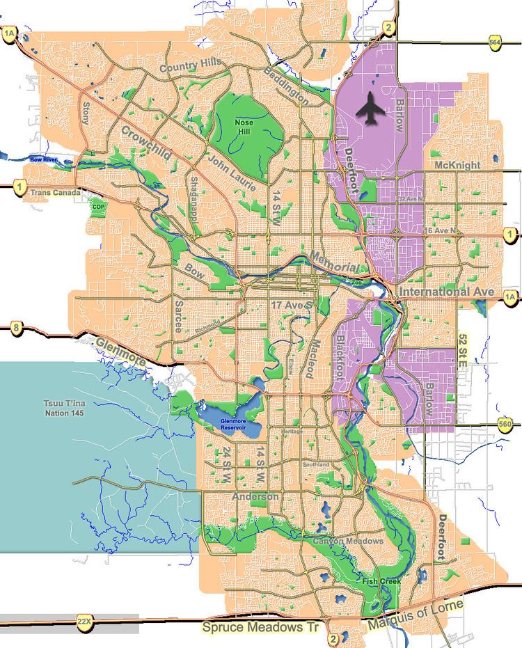
Map of Marlborough Park, Calgary, AB, Canada
The land was annexed by the City of Calgary in 1961 and Marlborough Park was established in 1972. It is represented in the Calgary City Council by the Ward 10 councillor.
Demographics
In the City of Calgary's 2012 municipal census, Marlborough Park had a population of 7003839100000000000♠8,391 living in 7003305000000000000♠3,050 dwellings, a 1.4% increase from its 2011 population of 7003827800000000000♠8,278. With a land area of 2.5 km2 (0.97 sq mi), it had a population density of 3,360/km2 (8,690/sq mi) in 2012.
Residents in this community had a median household income of $52,535 in 2000, and there were 17.4% low income residents living in the neighbourhood. As of 2000, 27.6% of the residents were immigrants. A proportion of 4% of the buildings were condominiums or apartments, and 16.8% of the housing was used for renting.
Education
The community is served by Cappy Smart Elementary School, Roland Michener Elementary, Dr. Gladys McKelvie Egbert Community public schools and by St. Martha Elementary & Junior High (Catholic).