
Country United States County Ulster Area code(s) 845 Elevation 157 m Zip code 12542 | State New York Time zone Eastern (EST) (UTC-5) FIPS code 36-45722 Population 8,808 (2010) Local time Monday 7:50 AM | |
 | ||
Weather -12°C, Wind N at 3 km/h, 69% Humidity | ||
Marlborough is a town in Ulster County, New York, United States. The population was 8,808 at the 2010 census. The town was named after the Duke of Marlborough. The Town of Marlborough is in the southeast part of the county. U.S. Route 9W passes through the eastern part of the town. US Route 44 and NY 55 cross the northwest corner of the town.
Contents
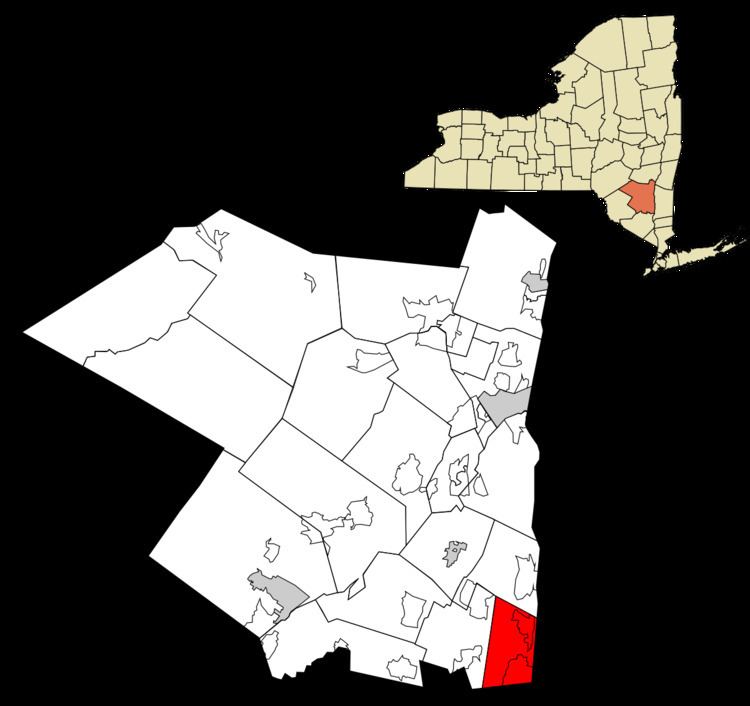
- Map of Marlborough NY USA
- History
- Geography
- Demographics
- Communities and locations in Marlborough
- References
Map of Marlborough, NY, USA
History
A land grant (patent) of this territory was made to Captain John Evans of the Royal Navy in 1694, and one of his first settlers arrived in 1697.
The region was part of the Newburgh Precinct and was set apart in 1772. The Town of Marlborough was formed in 1788 during a period of town formation in the county. Part of the town was used to create the Town of Plattekill in 1800.
Geography
According to the United States Census Bureau, the town has a total area of 26.5 square miles (69 km2), of which, 24.8 square miles (64 km2) of it is land and 1.7 square miles (4.4 km2) of it (6.30%) is water.
The east town line, marked by the Hudson River is the border of Dutchess County, and the south town line is the border of Orange County. The western border of the town closely parallels the Marlboro Mountain ridge, dividing Marlborough from the town of Plattekill.
The lowest point in the town is the shore of the Hudson River, which is at sea level. The highest point is the summit of Marlboro Mountain, at 1,127 feet (344 m).
Demographics
As of the census of 2000, there were 8,263 people, 3,020 households, and 2,144 families residing in the town. The population density was 332.8 people per square mile (128.5/km²). There were 3,176 housing units at an average density of 127.9 per square mile (49.4/km²). The racial makeup of the town was 94.48% White, 2.82% African American, 0.19% Native American, 0.33% Asian, 0.01% Pacific Islander, 0.84% from other races, and 1.33% from two or more races. Hispanic or Latino of any race were 3.98% of the population.
There were 3,020 households out of which 36.0% had children under the age of 18 living with them, 57.1% were married couples living together, 9.5% had a female householder with no husband present, and 29.0% were non-families. 22.6% of all households were made up of individuals and 9.1% had someone living alone who was 65 years of age or older. The average household size was 2.73 and the average family size was 3.25.
In the town, the population was spread out with 26.5% under the age of 18, 7.4% from 18 to 24, 30.8% from 25 to 44, 23.5% from 45 to 64, and 11.7% who were 65 years of age or older. The median age was 37 years. For every 100 females there were 96.8 males. For every 100 females age 18 and over, there were 94.8 males.
The median income for a household in the town was $49,788, and the median income for a family was $56,933. Males had a median income of $38,074 versus $29,608 for females. The per capita income for the town was $21,079. About 5.8% of families and 8.2% of the population were below the poverty line, including 8.9% of those under age 18 and 9.5% of those age 65 or over.