
Country United States Area code(s) 234 and 330 Elevation 356 m | Time zone Eastern (EST) (UTC-5) GNIS feature ID 1057833 Local time Monday 7:42 AM | |
 | ||
Weather -7°C, Wind E at 16 km/h, 66% Humidity | ||
Marlboro is an unincorporated community in Stark County, Ohio, United States.
Contents
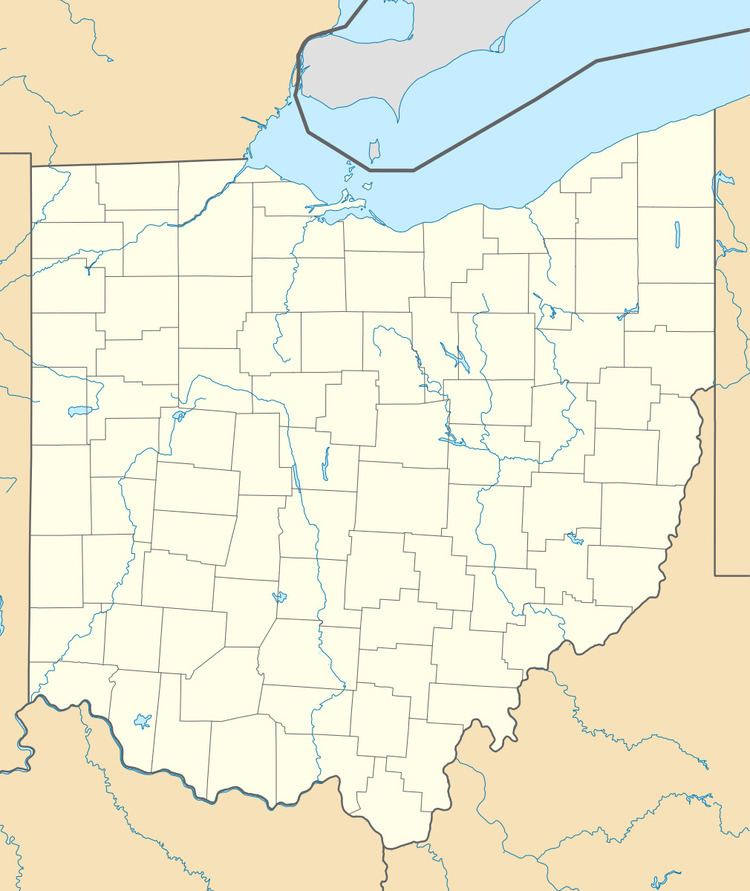
Map of Marlboro, OH 44601, USA
History
Marlboro was laid out in 1827, taking its name from Marlboro Township. The community was originally built up chiefly by Quakers. By 1833, Marlborough had about 50 inhabitants. A post office called Marlborough was established in 1833, the name was changed to Marlboro in 1893, and the post office closed in 1906.
Notable people
References
Marlboro, Ohio Wikipedia(Text) CC BY-SA