
Location Saxony Surface area 2.52 km (0.97 sq mi) Area 252 ha Cities Markkleeberg | Basin countries Germany Settlements Markkleeberg Surface elevation 112 m | |
 | ||
Max. depth ca. 57 to 63 m (187 to 207 ft) Similar Kanupark Markkleeberg, Cospudener See, Kulkwitzer See, Bergbau‑Technik‑Park, Schladitzer See | ||
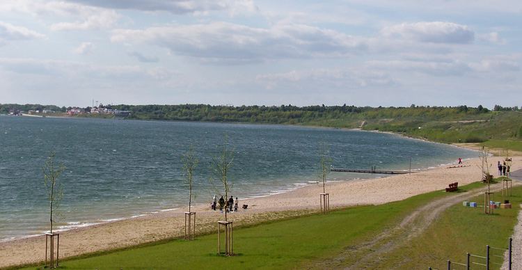
Markkleeberger See is a lake in Saxony, Germany, next to Markkleeberg, a suburb on the south side of Leipzig. At an elevation of 112.5 m, its surface area is 2.52 km². It is a former open-pit coal mine, flooded in 1999 with groundwater and developed in 2006 as a tourist area. On its southeastern shore is Germany's only pump-powered artificial whitewater slalom course, the Kanupark Markkleeberg.
Map of Markkleeberger See, 04416 Markkleeberg, Germany
References
Markkleeberger See Wikipedia(Text) CC BY-SA