Airport type Public 5,000 1,524 Phone +1 423-775-8407 | Owner City of Dayton Elevation AMSL 719 ft / 219 m Elevation 219 m | |
 | ||
Website DaytonTN.net/airport.php Address Walter Squire Rd, Dayton, TN 37321, USA Similar Dayton City Municipal Building, Tennessee Strawberry Festival, Hardwick Field, McMinn County Airport, Chattano Airport | ||
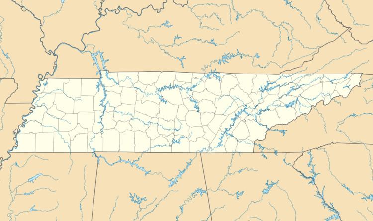
Mark Anton Airport (FAA LID: 2A0), also known as Mark Anton Municipal Airport, is a public airport located four miles (6 km) east of the central business district of Dayton, a city in Rhea County, Tennessee, United States. It is owned by the City of Dayton.
Facilities and aircraft
Mark Anton Airport covers an area of 258 acres (104 ha) which contains one asphalt paved runway (3/21) measuring 5,000 x 75 ft (1,524 x 23 m). For the 12-month period ending November 12, 1998, the airport had 11,200 aircraft operations, an average of 30 per day: 99% general aviation and 1% military.
References
Mark Anton Airport Wikipedia(Text) CC BY-SA
