
Country Jordan Time zone UTC+2 (UTC+2) Area code 06 | Governorate Amman Governorate Area 53 km² | |
 | ||
Elevation 895-1,070 m (2,936-4,265 ft) | ||
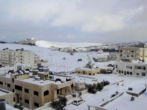
Marj Al-hamam (Arabic: مرج الحمام) Literally "Meadow of Doves" in Arabic language, is the District No. (27) of Metropolitan Amman – Greater Amman Municipality (GAM); it is situated to the western part of GAM. It comprises 16 neighborhoods and population gatherings (Circassians neighborhood, Alia Housing, Officers Housing,..); it is 53 Km2 of space; its population counts for 50000 capita. Its zoning borders include Naour, Mqabalein, and Wadi EsSeer. It is situated approximately 15 kilometres (9 mi) south of the country's capital, Amman. Since 2007, it has been part of the Greater Amman Municipality.
Map of Marj Al Hamam, Amman, Jordan
References
Marj Al-Hamam Wikipedia(Text) CC BY-SA