
GNIS feature ID 453611 Area 93.52 km² Population 724 (2010) | ZIP codes 47564, 47590, 47598 Elevation 158 m Local time Monday 12:19 AM | |
 | ||
Weather 2°C, Wind E at 11 km/h, 43% Humidity | ||
Marion Township is one of nine townships in Pike County, Indiana, United States. As of the 2010 census, its population was 724 and it contained 310 housing units.
Contents
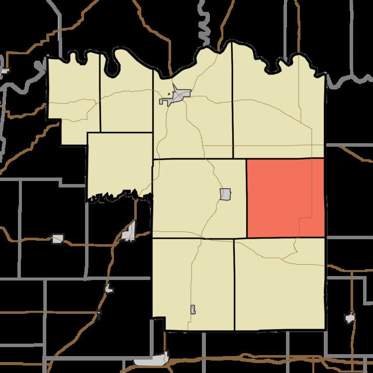
- Map of Marion Township IN USA
- History
- Geography
- Unincorporated towns
- Cemeteries
- Lakes
- School districts
- Political districts
- References
Map of Marion Township, IN, USA
History
Marion Township was organized in 1857.
Geography
According to the 2010 census, the township has a total area of 36.11 square miles (93.5 km2), of which 35.41 square miles (91.7 km2) (or 98.06%) is land and 0.7 square miles (1.8 km2) (or 1.94%) is water.
Unincorporated towns
(This list is based on USGS data and may include former settlements.)
Cemeteries
The township contains these six cemeteries: Beadles, Bruster Branch, Corn, Flat Creek, Hayes and Walnut Grove.
Lakes
School districts
Political districts
References
Marion Township, Pike County, Indiana Wikipedia(Text) CC BY-SA