Country Algeria Elevation 457 m (1,499 ft) | Time zone CET (UTC+1) | |
 | ||
Marhouma is a village in the commune of Tamtert, in El Ouata District, Béchar Province, Algeria. The village lies on the Oued Saoura 19 kilometres (12 mi) northwest of Tamtert and 18 kilometres (11 mi) southeast of Béni Abbès. It is notable for nearby rock engravings.
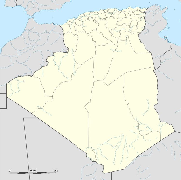
Map of Marhouma, Algeria
References
Marhouma Wikipedia(Text) CC BY-SA
