
Prominence 19 m Elevation 546 m | OS grid SK189956 | |
 | ||
Similar High Stones, Derwent Edge, Crook Hill, Bleaklow, Grindslow Knoll | ||
Margery Hill /ˈmɑːrɡəri/ is a 546-metre (1,791 ft) hill on the Howden Moors in South Yorkshire, England. It lies towards the northern boundary of the Peak District National Park, between Langsett Reservoir to the northeast and Howden Reservoir to the southwest. The area is managed by the National Trust as part of their High Peak Estate.
Map of Margery Hill, Sheffield, UK
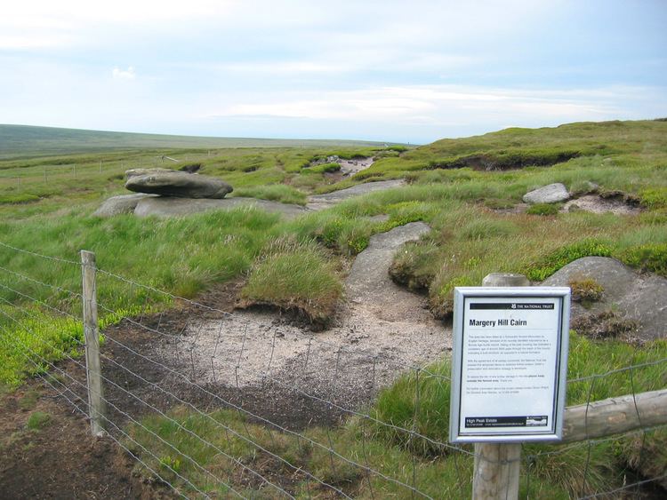
Peat near the summit cairn has been dated to a uniform age of about 3,500 years old, indicating that it was constructed rather than natural; it is believed to have been part of a Bronze Age burial mound. The area has been designated a Scheduled Ancient Monument by English Heritage.
Margery Hill is the highest marked point within the boundaries of Sheffield. The land rises slightly to 548 metres (1,798 ft) about 0.9 miles (1.5 km) to the south, near High Stones.