
Country United States Time zone CST (UTC-6) Zip code 55414 Area code 612 | State Minnesota Area 214 ha Population 10,015 (2010) | |
 | ||
Restaurants Brasa Premium Rotisserie, Alma, Aster Cafe, Loring Pasta Bar, Burrito Loco Hotels University Inn, Alma Hotel, Faculty House | ||
Marcy-Holmes is the first neighborhood of Minneapolis. It is bordered on the south by the Mississippi River, to the east by the University of Minnesota and 15th Avenue SE, to the north by the railroad tracks that separate it from the Como Neighborhood, and to the west by Central Avenue. Although somewhat confusing to newcomers, the Marcy-Holmes neighborhood is considered part of Southeast Minneapolis, despite its seemingly centralized location within the city today. Every street and avenue within the neighborhood is labeled "SE," a term that refers to how the overall area is South of East Hennepin Avenue and East of the Mississippi River. Entirely within Minneapolis' Ward 3, Marcy-Holmes is represented by City Council member Jacob Frey. The neighborhood is named in honor of William L. Marcy and Oliver Wendell Holmes.[1]
Contents
Map of Marcy-Holmes, Minneapolis, MN, USA
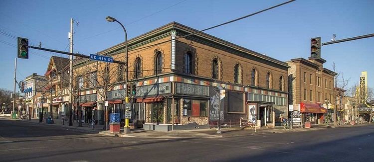
Marcy-Holmes is well known for its diverse community, its commercial districts, St. Anthony Main and Dinkytown, and its immediate proximity to the East Bank of the University of Minnesota-Twin Cities campus.
Demographics
As of the 2010 United States Census, 10,015 people live in Marcy-Holmes. Census race groups consist of Caucasians (74.5%), Asians (13.4%), African-Americans (4.5%), Hispanics (4.4%) and two or more races (2.3%). About 88.8% of households rent.