Puneet Varma (Editor)

Marck, Pas de Calais

Updated on
Edit
Like
Comment
Share on FacebookTweet on TwitterShare on LinkedInShare on Reddit
Country
  
France

Department
  
Pas-de-Calais

Population (2006)
  
9,235

Local time
  
Tuesday 4:02 AM

Arrondissement
  
Calais

Region
  
Hauts-de-France

Canton
  
Calais-Est

Area
  
31.55 km²

Number of airports
  
1

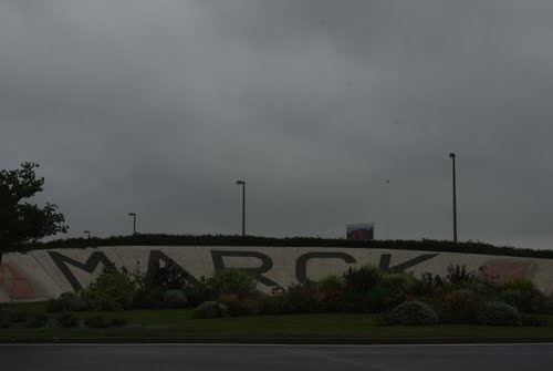
Marck, Pas-de-Calais mw2googlecommwpanoramiophotosmedium40702624jpg

Intercommunality
  
Communauté d'agglomération du Calaisis

Weather
  
8°C, Wind SW at 21 km/h, 88% Humidity

Marck is a commune in the Pas-de-Calais department in the Hauts-de-France region of France.

Contents

Map of 62730 Marck, France

Geography

Marck is a farming and light industrial town located 6 km east of Calais, at the junction of the D940 and D248 roads. The A26 ‘autoroute des Anglaises’ passes through the commune and the Louis Blériot airport is in the middle of the commune. The small villages of Les Hemmes-de-Marck and Fort-Vert, both on the D191 road, are included in the population.

Demographic evolution

There are three elementary schools and one middle school.

Main sights

  • The church of St. Martin, dating from the twentieth century, is an official historical monument since January 17, 2002. The original church, dated from the 15th century, was destroyed with explosives in 1944 during World War II.
  • There is a headstone placed in memory of those who perished during the bombing of Rue Du Sable in Marck on September 28, 1944 by the Allied Forces. This bombing killed over 30 inhabitants and injured many, the largest Marck had ever faced at one time. This street was subsequently renamed Rue Du 28 Septembre in memory of this terrible tragedy.
  • The brick tower of an old windmill.
  • There is a war memorial at the center of the town with the names of town locals that were killed during World War I, World War II and other subsequent wars.
  • References

    Marck, Pas-de-Calais Wikipedia