
Capital of Marcinkonys eldership Local time Tuesday 4:55 AM | Eldership Marcinkonys eldership Time zone EET (UTC+2) Population 765 (2001) | |
 | ||
Weather 4°C, Wind SE at 14 km/h, 94% Humidity Municipality Varėna District Municipality | ||
Marcinkonys is a village in Varėna district, Lithuania, located south-east of Merkinė. It is the administrative center of the Dzūkija National Park and Čepkeliai Marsh. According to the 2001 census, it had 765 residents.
Map of Marcinkonys, Lithuania
Its alternate names include Marcinkańce, Mareinkonys, Martsinkantse, Martsinkantsy, and Martsinkonis.
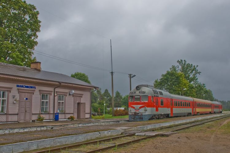
The settlement is known since 1637, when it was a camp of foresters. It began growing after completion of the railway station for the Warsaw – Saint Petersburg Railway in 1864. During the Holocaust, the village had the Marcinkonys Ghetto for the Lithuanian Jews. Some Jews escaped during the liquidation of the ghetto and managed to survive the war.
References
Marcinkonys Wikipedia(Text) CC BY-SA