
Area 24.98 km² | Region Normandy Canton Bourg-Achard Population (2010) 494 | |
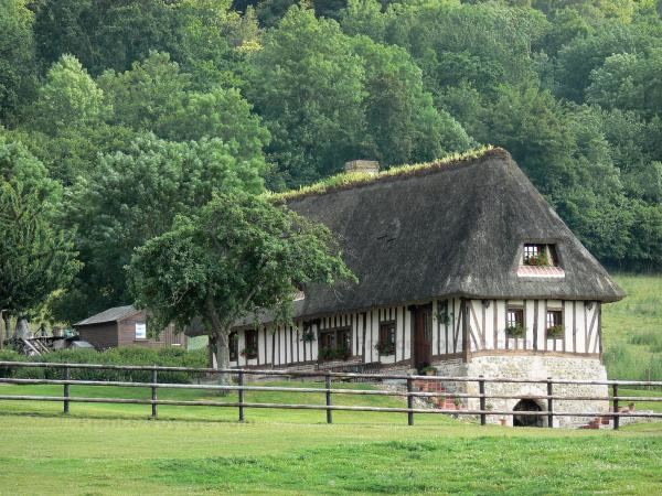 | ||
Marais-Vernier ([ma.ʁɛ vɛʁ.nje]) is a commune in the Eure department in Haute-Normandie in northern France. It is situated near the left bank of the Seine, at the edge of a wetland (the Marais Vernier) formed by an old branch of the Seine. The wetland was cut off from the river with dams in the 17th century. Part of it is used for farming (cattle, Camargue horses, Scottish Highland Cattle), part is a protected area which is important for birds like storks. The village itself is situated on the edge of the wetland.
Map of 27680 Marais-Vernier, France
References
Marais-Vernier Wikipedia(Text) CC BY-SA