
Country Philippines Established July 22, 1949 Time zone PST (UTC+8) Province Samar | District 2nd district of Samar Barangays Area 143.6 km² | |
 | ||
Region Eastern Visayas (Region VIII) Neighborhoods Osmeña, Binocyahan, Icting | ||
Jasmin beach marabut samar philippines
Marabut is a 5th class municipality in the province of Samar, Philippines. According to the 2015 census, it has a population of 16,962 people.
Contents
- Jasmin beach marabut samar philippines
- Map of Marabut Samar Philippines
- Caluwayan palm island resort and restaurant marabut samar
- Barangays
- History
- References
Map of Marabut, Samar, Philippines
Its coast stretches more than twenty kilometers along the San Pedro Bay and Leyte Gulf.
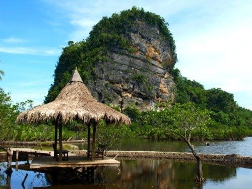
Caluwayan palm island resort and restaurant marabut samar
Barangays
Marabut is politically subdivided into 24 barangays. In 1957, the sitio of Pinana-an was converted into barrio Pinalangga.
History
During the early Spanish Era, the municipality of Marabut was a mere sitio of Basey, which evolved into a barrio. In 1949, Ysidro M. Ferreras who was then the Mayor of Basey submitted to President Elpidio Quirino a proposal to convert Barrio Sto. Niño into a separate municipality. Thus on July 22, 1949, Executive Order No. 247 was signed creating the Municipality of Marabut, named in honor of Congressman Serafin Marabut who was a native of Basey. Ysidro Ferreras was elected as the first municipal mayor.