
Time zone CST (UTC-6) Elevation 186 m Local time Monday 2:24 PM | Established November 2, 1852 ZIP codes 61436, 61458, 61531 Area 93.47 km² Population 556 (2010) | |
 | ||
Weather 18°C, Wind N at 14 km/h, 56% Humidity | ||
Maquon Township is one of twenty-one townships in Knox County, Illinois, USA. As of the 2010 census, its population was 556 and it contained 269 housing units.
Contents
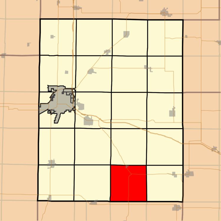
- Map of Maquon Township IL USA
- Geography
- Cities towns villages
- Unincorporated towns
- Cemeteries
- School districts
- Political districts
- References
Map of Maquon Township, IL, USA
Geography
According to the 2010 census, the township has a total area of 36.09 square miles (93.5 km2), of which 35.87 square miles (92.9 km2) (or 99.39%) is land and 0.22 square miles (0.57 km2) (or 0.61%) is water.
Cities, towns, villages
Unincorporated towns
(This list is based on USGS data and may include former settlements.)
Cemeteries
The township contains these three cemeteries: Housh, Ouderkirk and Thurman.
School districts
Political districts
References
Maquon Township, Knox County, Illinois Wikipedia(Text) CC BY-SA