
Location Hesse, Germany Prominence 72 m | Elevation 548 m | |
 | ||
Similar Grauer Kopf, Erbacher Kopf, Suterkopf, Hesselberg, Sängelberg | ||
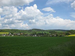
Mappershainer Kopf is a hill in Hesse, Germany, part of the Taunus range.
Map of Mappershainer Kopf, 65321 Heidenrod, Germany
It rises to a height of 548 metres, making it the highest peak in the western part of the Taunus. The nearest settlement is Mapperhain and the nearest town is Heidenrod.
The hill is located about one km west of the watershed point between the Dörsbach river to the north and the Wisper in the west, both of which originate here, and the Aar in the east (all tributaries of the river Lahn).
The B260 federal highway passes close by.
References
Mappershainer Kopf Wikipedia(Text) CC BY-SA