
 | ||
Mapperley is a village and civil parish in the Amber Valley district of Derbyshire, England, situated 7 miles (11 km) northeast of Derby and 2 miles (3 km) northwest of Ilkeston. In the 2001 census it had a population of 253, increasing to 289 at the 2011 Census.
Map of Mapperley, Ilkeston, UK
The village is on a loop off the A609 Nottingham to Belper road. A minor road leading to Shipley was closed by Derbyshire County Council in 2007.
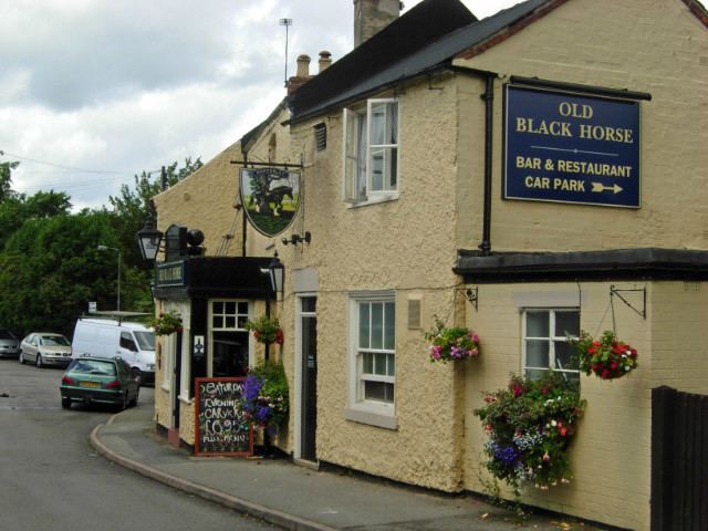
The facilities in the village include a church, a C of E primary school and a pub.
Mapperley Colliery, which was in operation from 1871 until 1965, was formerly a major employer in the area.
References
Mapperley, Derbyshire Wikipedia(Text) CC BY-SA