
Parent range Okanogan Highlands Mountain type Rhyolite flows Elevation 1,615 m | Age of rock Eocene Easiest route Maple Mountain Trail Prominence 180 m | |
 | ||
Topo map USGS Storm King Mountain Mountain range Monashee Mountains, Okanagan Highland | ||
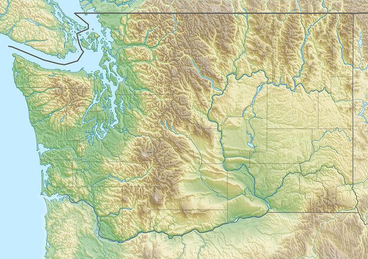
Maple Mountain is a mountain located in Okanogan County in the U.S. state of Washington. With an elevation of 5,280+ft (1,610+m), its nearest neighbors are Storm King Mountain 2.1 miles (3.4 km) east, and Clackamas Mountain 2.6 miles (4.2 km) to the west. The mountain is mostly treed except for the South side, which has exposed slab, with grasses growing in some areas. This is the most technical route possible, and requires some rock scrambling. The easiest route up the mountain, is the Maple Mountain trail. The trail climbs 1420 vertical feet from Granite creek to just below the summit in only 1.56 miles (2.51 km).
Map of Maple Mountain, Washington 99166, USA
References
Maple Mountain (Washington) Wikipedia(Text) CC BY-SA