
Written in C# License MPL | Operating system | |
 | ||
Developer(s) MapWindow Open Source Team Stable release 4.8.8 / August 1, 2013 (2013-08-01) | ||
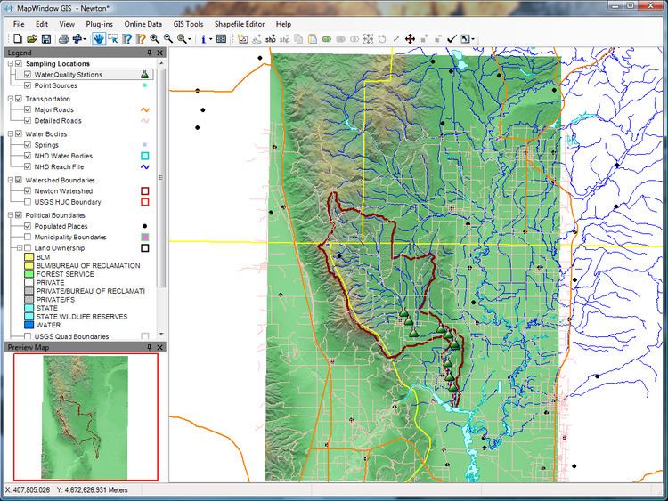
MapWindow GIS is an open source GIS (mapping) application and set of programmable mapping components. It has been adopted by the United States Environmental Protection Agency as the primary GIS platform for its BASINS (Better Assessment Science Integrating Point and Nonpoint Sources) watershed analysis and modeling software.
Technical details
MapWindow GIS is distributed as an open source application under the Mozilla Public License distribution license, MapWindow GIS can be reprogrammed to perform different or more specialized tasks. There are also plug-ins available to expand compatibility and functionality.
The application is built upon Microsoft .NET technology.
Updates for MapWindow GIS are regularly released by a group of student and volunteer developers.