
Administrative center selo of Manturovo Rural localities 63 | selsoviet 19 Area 1,017 km² | |
 | ||
Municipally incorporated as | ||
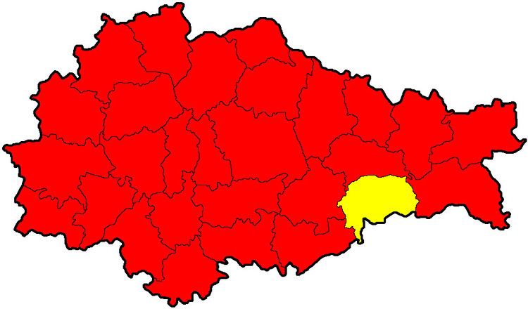
Manturovsky District (Russian: Мантуровский райо́н) is an administrative and municipal district (raion), one of the twenty-eight in Kursk Oblast, Russia. It is located in the southeast of the oblast. The area of the district is 1,010 square kilometers (390 sq mi). Its administrative center is the rural locality (a selo) of Manturovo. Population: 14,349 (2010 Census); 16,758 (2002 Census); 19,994 (1989 Census). The population of Manturovo accounts for 19.3% of the district's total population.
Contents
Map of Manturovsky District, Kurskaya Oblast, Russia
Geography
Manturovsky District is located in the southeast region of Kursk Oblast, on the border with Belgorod Oblast. The terrain is hilly plain in the Central Russian Upland. The main rivers in the district are the Seym River - which from the district flows west to the Dnieper River basin - and the Oskol River which flows south to the Don River, Russia basin). The district is 60 km southeast of the city of Kursk, 110 km west of the city of Voronezh, and 480 km south of Moscow. The area measures 25 km (north-south), and 45 km (west-east). The administrative center is the town of Manturovo.
The district is bordered on the north by Timsky District, on the east by Gorshechensky District, on the south by Gubkinsky District of Belgorod Oblast, and on the west by Solntsevsky District.