
OS grid reference TF070160 | Sovereign state United Kingdom Postcode district NG31 | |
 | ||
UK parliament constituency | ||
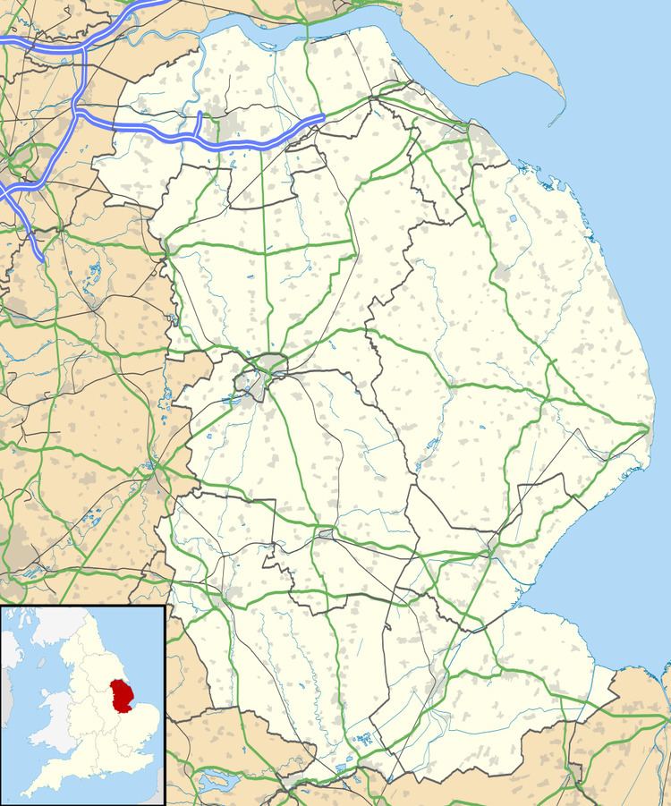
Manthorpe is a small village in the South Kesteven district of Lincolnshire, England. It lies 0.5 miles (0.8 km) east from the A6121, 3 miles (5 km) south-west from Bourne and 6 miles (10 km) north-east from Stamford.
Map of Manthorpe, Bourne, UK
The village is part of the Toft with Lound and Manthorpe (where the population is included) civil parish. At the western side of the village runs the East Glen River.[1]
At Bowthorpe Park Farm is the Bowthorpe Oak, with the largest girth in the UK, a circumference of 40 feet (12.2 m).
References
Manthorpe, Bourne Wikipedia(Text) CC BY-SA