
Country Philippines Congr. district 2nd Time zone PST (UTC+8) Area 446.6 km² Population 51,705 (2010) | Region MIMAROPA (Region IV-B) Barangays ZIP code 5213 Local time Monday 6:51 PM Province Oriental Mindoro | |
 | ||
Weather 26°C, Wind N at 11 km/h, 71% Humidity Neighborhoods Manaui, Cabalwa, B. Del Mundo, Poblacion, Wasig | ||
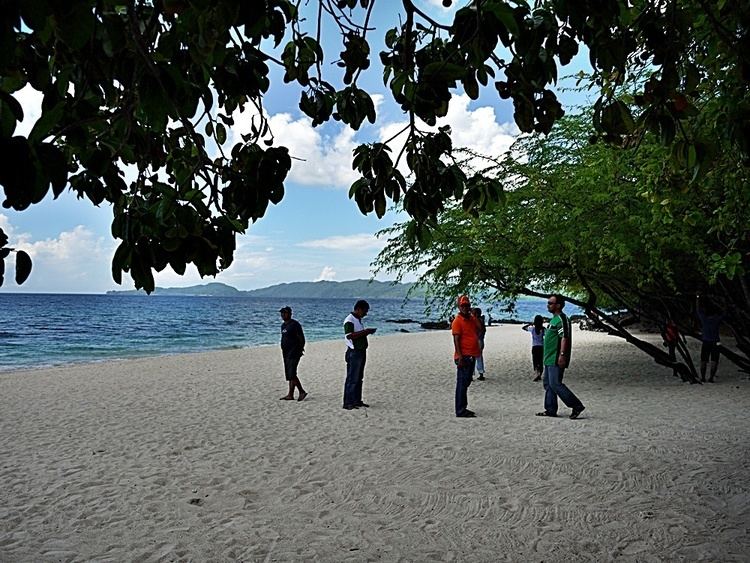
Benazir and buddy sea turtles at casabangan bay mansalay oriental mindoro philippines
Mansalay is a second class municipality in the province of Oriental Mindoro, Philippines. According to the 2010 census, it has a population of 51,705 people.
Contents
- Benazir and buddy sea turtles at casabangan bay mansalay oriental mindoro philippines
- Map of Mansalay Oriental Mindoro Philippines
- Barangays
- History
- Economy
- References
Map of Mansalay, Oriental Mindoro, Philippines
This town is notable for its indigenous Mangyan population. The municipal hall is located on the upper land of Mansalay Town proper, in front of a Medical Care Hospital. Nearby is the church and the only Catholic School, Mansalay Catholic High School. Sta. Catalina is the town's patron saint.
Barangays
Mansalay is politically subdivided into 17 barangays.
History
In 1957, the sitios of Sta. Brigida, Sta. Maria, Roma, Budburan, and Mahabangsapa were constituted into barrios.
Economy
Its people relies heavily on fishing and farming to survive and earn a living. Because of meager income opportunities, Mansalay has produced a large number of overseas Filipino workers who send remittance back.