
PIN 382845 Elevation 94 m Local time Monday 4:19 PM | Time zone IST (UTC+5:30) Vehicle registration GJ Population 30,347 (2001) | |
 | ||
Weather 36°C, Wind NE at 5 km/h, 19% Humidity Neighborhoods Krushna Nagar, Ghanshyamnagar | ||
Mansa is a city, municipality and former princey state, in Gandhinagar district in the western Indian state of Gujarat.
Contents
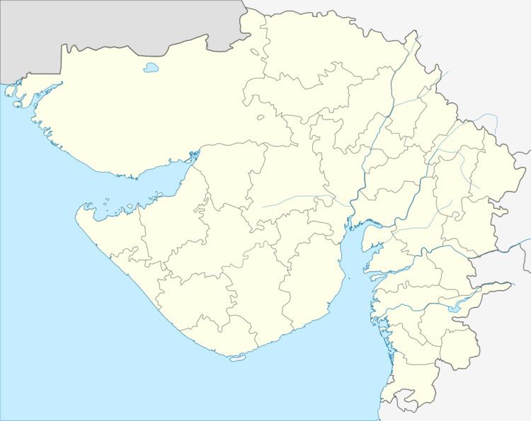
Map of Mansa, Gujarat
History
Mansa was also the eponymous seat of a Hindu petty princely state, whose Rajput rulers of the Chavda dynasty were styled Raol, like Rawal a regional equivalent of Raja(h), and enjoyed a privy purse of 40,000 Rupees. It covered 65 km2 and had a population of 13,299 in 1892.
During the British raj, Mansa was a Third class non-salute state under the Mahi Kantha Agency. It ceased to exist after the Indian independence by accession on 10 June 1948.
Geography
Mansa is located at 23.43°N 72.67°E. It has an average elevation of 94 metres (308 feet).
Demographics
As of 2001 India census, Mansa had a population of 27,922. Males constitute 52% of the population and females 48%. Mansa has an average literacy rate of 69%, higher than the national average of 59.5%: male literacy is 75%, and female literacy is 63%. In Mansa, 12% of the population is under 6 years of age.
Places of interest
There is an ancient stepwell in the town. It is 5.40 in diameter. There are idols of Amba and Bhairava in niches. There is an inscription of 28 lines in the stepwell.
There are old Vaishnava temples, Havelis, dedicated to Govardhannath and Dwarkadhish.
Mansa Panjarapol is over 140 years old charitable organisation dedicated to animal welfare.