
 | ||
Restaurants Peaches Kitchen Restaura, Senbeb Cafe, Twin Dragon Carry‑Out, 7‑Eleven | ||
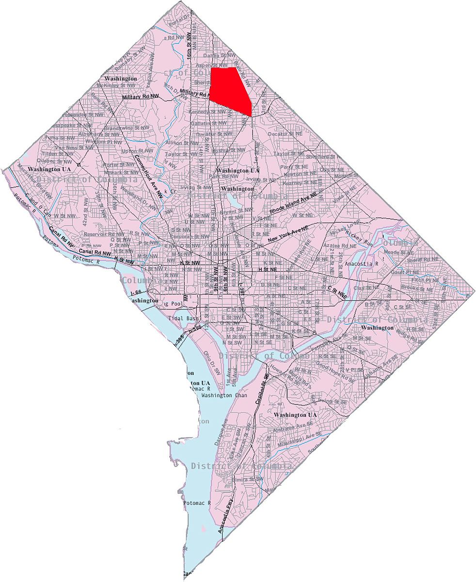
Manor Park is a neighborhood in northwest Washington, D.C.. The National Capital Planning Commission 1967 "District Communities" map indicates this neighborhood is roughly bounded by Fifth Street NW on the west, North Capitol Street and Blair Road on the east, Aspen Street to the north, and Missouri Avenue NW to the south. In 1940, the Manor Park Citizens Association deemed the boundaries to be Eighth Street, Whittier Street, North Capitol Street, and Concord Street (now Missouri Avenue).
Map of Manor Park, Washington, DC, USA
Residential and not very suburban, Manor Park is largely characterized by rowhouses, detached and semi-detached houses, and small neighborhood businesses. Many of the homes were built in the 1920s. There are also swaths of park land cutting through the neighborhood, including Fort Slocum Park. In 1923, the Manor Park Citizens Association formed to improve the neighborhood. Manor Park had mostly dirt roads until at least 1926. For many years, Manor Park was not connected by road to Takoma until Fourth and Fifth Streets were extended to connect the two neighborhoods in 1926.