
Territory Manono | Climate Aw Local time Monday 11:54 AM Number of airports 1 | |
 | ||
Weather 29°C, Wind SE at 16 km/h, 62% Humidity | ||
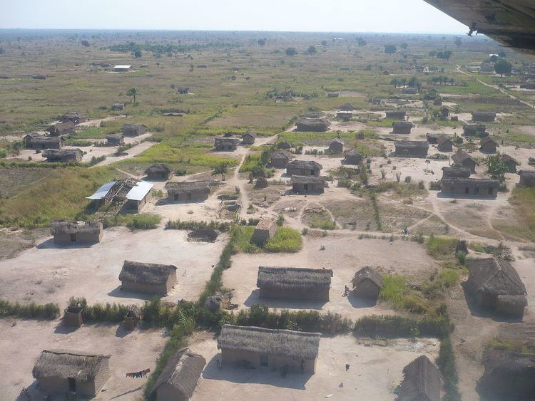
Manono is a town and territory in Tanganyika Province, Democratic Republic of the Congo.
Contents
- Map of Manono Democratic Republic of the Congo
- Location and economy
- Climate
- Civil war
- Recent times
- References
Map of Manono, Democratic Republic of the Congo
Location and economy
Manono lies on the western bank of the Lukushi, a tributary of the Luvua River. The town is a river port, with barges bringing cargo from Lubumbashi. Manono is also connected to a disused railway line. Economic activity is centered on mining, with the surrounding area containing approximately 100 million tonnes of minerals, including columbite, tin and tantalite. The collapse of the world tin price in the 1980s severely hit the town's economy.
Climate
Manono has a tropical savanna climate (Köppen: Aw).
Civil war
Manono was seriously affected by the Second Congo War (1998-2003), with many buildings destroyed. Rally for Congolese Democracy rebels and allied Rwandan soldiers took control of Manono in 1999. A hydro-electric power plant used to provide electricity, however it was destroyed during the war. The town used to have a brewery which supplied the surrounding region, however it was destroyed during the war.
Recent times
The UN carried out arms decommissioning in 2008, offering to accept guns in exchange for a bicycle. The scheme was successful in removing weapons. The town is served by the Manono Airport. Manono has a cathedral which was built by Belgian missionaries, and was severely damaged during the war.