
Population 11,195 (2011 census) State electorate(s) LyttonChatsworth Postal code 4179 | Postcode(s) 4179 | |
 | ||
LGA(s) | ||
Manly West is a suburb of Brisbane, Australia. Manly West originally was an extension of Manly, but was officially gazetted in 1975.
Contents
Map of Manly West QLD 4179, Australia
Geography
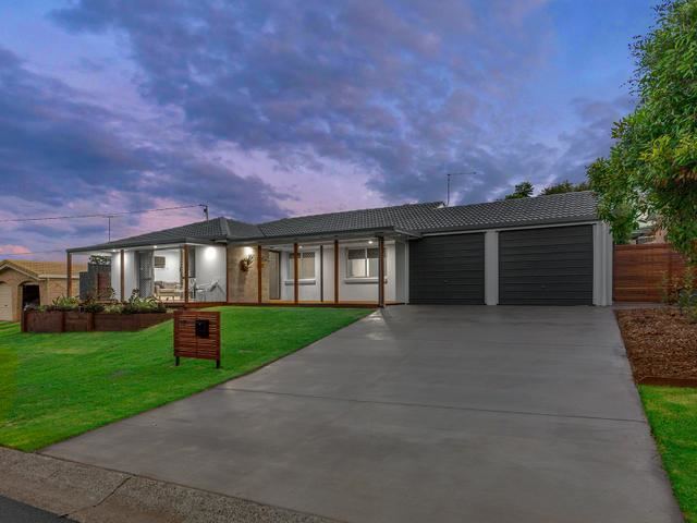
Manly West is one suburb inland from the bay and the most common style of housing in the area is modern, low-set brick houses. It is 16 kilometres (9.9 mi) east of the CBD.
Education
Manly West contains a primary school, a preschool, Moreton Bay College and Moreton Bay Boys College.
Amenities
Manly West is serviced by a fortnightly visit of the Brisbane City Council's mobile library service at the Mayfair Village Shopping Centre on Manly Road.
Demographics
In the 2011 census the population of Manly West was 11,195, 52% female and 48% male. The median age of the Manly West population was 38 years of age, 1 year above the Australian median. 78.1% of people living in Manly West were born in Australia, compared to the national average of 69.8%; the next most common countries of birth were England 4.9%, New Zealand 4.8%, South Africa 0.9%, Scotland 0.7%, Philippines 0.5%. 91.4% of people spoke only English at home; the next most common languages were 0.4% German, 0.3% Tagalog, 0.3% Japanese, 0.3% Arabic, 0.3% Spanish.
Over 47% of households in this area consist of a couple with children and a further 35% are couples without children. Stand alone house account for 87% of all dwellings in this area, with townhouses accounting for a further 10%.