
Country United States Time zone CST (UTC-6) Area 93.89 km² Population 653 (2010) | Established November 6, 1849 Elevation 214 m Local time Monday 2:33 AM | |
 | ||
ZIP codes 61338, 61361, 61376, 61379 Weather 8°C, Wind SE at 10 km/h, 73% Humidity | ||
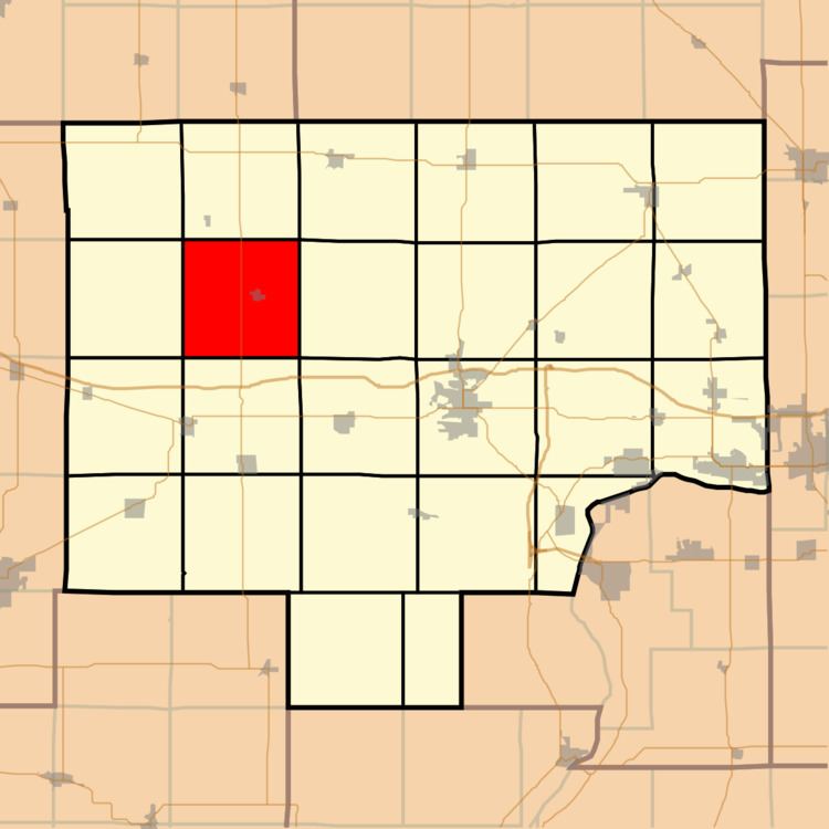
Manlius Township is one of twenty-five townships in Bureau County, Illinois, USA. As of the 2010 census, its population was 653 and it contained 307 housing units. Manlius Township changed its name from Green River Township on an unknown date.
Contents
- Map of Manlius Township IL USA
- Geography
- Cities
- Cemeteries
- Major highways
- School districts
- Political districts
- References
Map of Manlius Township, IL, USA
Geography
According to the 2010 census, the township has a total area of 36.25 square miles (93.9 km2), of which 36.22 square miles (93.8 km2) (or 99.92%) is land and 0.03 square miles (0.078 km2) (or 0.08%) is water.
Cities
Cemeteries
The township contains these three cemeteries: Follett, Manlius and Sand Hill Baptist.
Major highways
School districts
Political districts
References
Manlius Township, Bureau County, Illinois Wikipedia(Text) CC BY-SA