
Time zone WAT (UTC+1) Area 784 km² | established 1989 3-digit postal code prefix 823 Local time Monday 4:49 AM | |
 | ||
Weather 22°C, Wind E at 10 km/h, 21% Humidity | ||
Mani is a Local Government Area in Katsina State, Nigeria. Its headquarters are in the town of Mani. Mani town was established more than 600 years ago while the Local Government was created in 1976 after the enactment of Local Government reforms act. Three other Local Governments (Mashi, Bindawa and Dutsi) were however carved from the Old Mani Local Government Area.
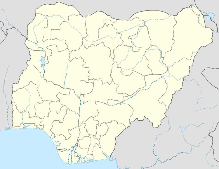
Map of Mani, Nigeria
Traditionally, Mani is indisputably believed to be the root of the Sullubawa ruling dynasty of Katsina Emirate because the founder of the dynasty, Muhammadu Dikko, was the District Head of Mani during the reign of Sarkin Katsina Abubakar. From then onward, the traditional ruler of the District was known and called Durbin Katsina. However, recently, the traditional title of the Head of the District was changed to Sarkin Gabas Katsina.
Mani has an area of 784 km² and a population of 176,966 at the 2006 census. Majority of its inhabitants are farmers and are either Hausa or Fulani ethnicity. The town is arguable the most peaceful in whole of Nigeria.
The postal code of the area is 823.