
Country United States FIPS code 36-44974 Elevation 225 m Population 3,334 (2010) Area code 315 | State New York Time zone Eastern (EST) (UTC-5) GNIS feature ID 0979191 Zip code 13329 Local time Sunday 11:32 PM | |
 | ||
Weather -1°C, Wind W at 10 km/h, 65% Humidity Area 76.92 km² (75.11 km² Land / 155 ha Water) | ||
Manheim is a town in Herkimer County, New York, United States. The population was 3,334 at the 2010 census. The town name is derived from Mannheim, in Baden, Germany.
Contents
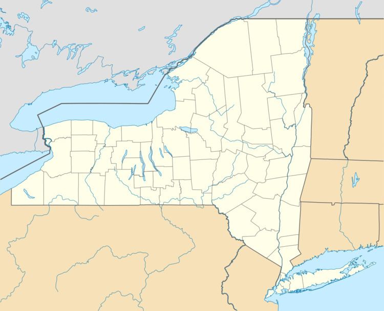
Map of Manheim, NY, USA
The Town of Manheim is in the southeastern part of the county. The town borders the City of Little Falls at its southwest corner. Manheim is east of Utica.
The Erie Canal passes across the south part of the town.
History
The town was first settled around 1756 by natives of German states.
In 1780, during the American Revolution, Tories and native allies attacked settlements in the town.
Manheim was formed from the Town of Palatine (Montgomery County) in 1797.
In the year 1865, the population of Manheim was 1,831.
The Snells Bush Church and Cemetery was added to the National Register of Historic Places in 2004.
Geography
According to the United States Census Bureau, the town has a total area of 29.7 square miles (77 km2), of which, 29.0 square miles (75 km2) of it is land and 0.6 square miles (1.6 km2) of it (2.09%) is water.
The eastern town line is the border of Fulton County, marked by the East Canada Creek. The south town line is marked by the Mohawk River.
New York State Route 5 is an east-west highway in the south part of the town. New York State Route 167 and New York State Route 170A are north-south highways. NY-170A is in the northwest part of Manheim, and NY-167 connects Little Falls to Dolgeville.
Demographics
As of the census of 2000, there were 3,171 people, 1,297 households, and 885 families residing in the town. The population density was 109.2 people per square mile (42.2/km²). There were 1,480 housing units at an average density of 51.0 per square mile (19.7/km²). The racial makeup of the town was 97.86% White, 0.35% African American, 0.47% Native American, 0.38% Asian, 0.03% Pacific Islander, 0.06% from other races, and 0.85% from two or more races. Hispanic or Latino of any race were 0.69% of the population.
There were 1,297 households out of which 30.8% had children under the age of 18 living with them, 51.7% were married couples living together, 10.4% had a female householder with no husband present, and 31.7% were non-families. 27.8% of all households were made up of individuals and 14.9% had someone living alone who was 65 years of age or older. The average household size was 2.43 and the average family size was 2.92.
In the town, the population was spread out with 24.7% under the age of 18, 7.7% from 18 to 24, 25.2% from 25 to 44, 25.8% from 45 to 64, and 16.7% who were 65 years of age or older. The median age was 40 years. For every 100 females there were 93.7 males. For every 100 females age 18 and over, there were 91.5 males.
The median income for a household in the town was $31,750, and the median income for a family was $39,032. Males had a median income of $28,424 versus $18,264 for females. The per capita income for the town was $15,429. About 9.0% of families and 12.7% of the population were below the poverty line, including 15.2% of those under age 18 and 8.5% of those age 65 or over.