
Length 10 km | ||
 | ||
Similar Shrine of St Therese, Laguna Caldera, Mount Sembrano, Alabang, Bicutan | ||
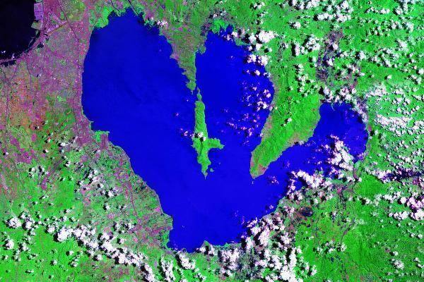
The Mangangate River (Tagalog: Ilog Mangangate), also referred to as the Alabang-Cupang River, is a river system in Muntinlupa, Philippines. It is one of 21 major tributaries of Laguna de Bay.
Map of Mangangate River, Muntinlupa, Metro Manila, Philippines
The main stream has a total length of 10 kilometers and has two branches. The first is connected to the drainage system of Ayala Alabang, while the second is connected with the headwater from NBP Reservation, near Camp Sampaguita. This second branch flows through at Ayala Alabang Village and Filinvest Commercial Site, and connects with the first branch at Pasong Diablo site until it drains out into Laguna de Bay at a point between Wawa, Alabang and Purok 1, Cupang.
The river system has four adjoining creeks:
The depth of the Mangangate currently varies from two m to 0.25 m