
Population (before evacuation) 3,000 Local time Monday 6:43 AM | Time zone MMT (UTC+6.30) | |
Weather 18°C, Wind NE at 2 km/h, 89% Humidity | ||
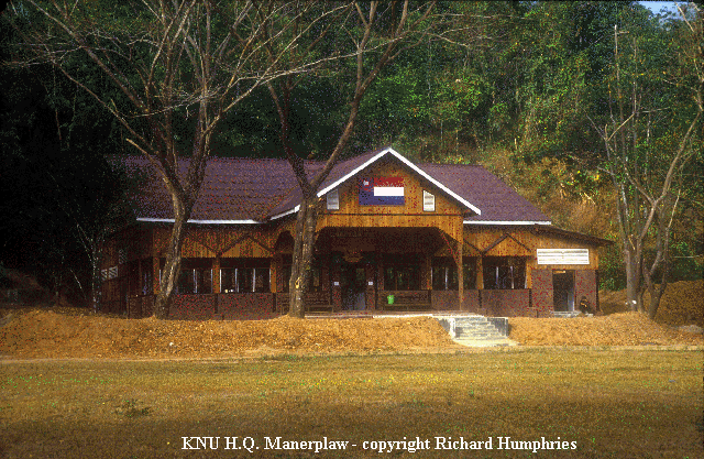
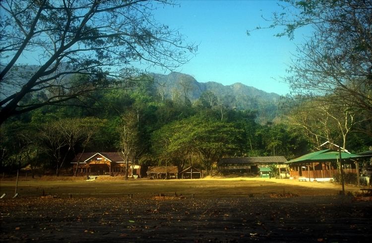
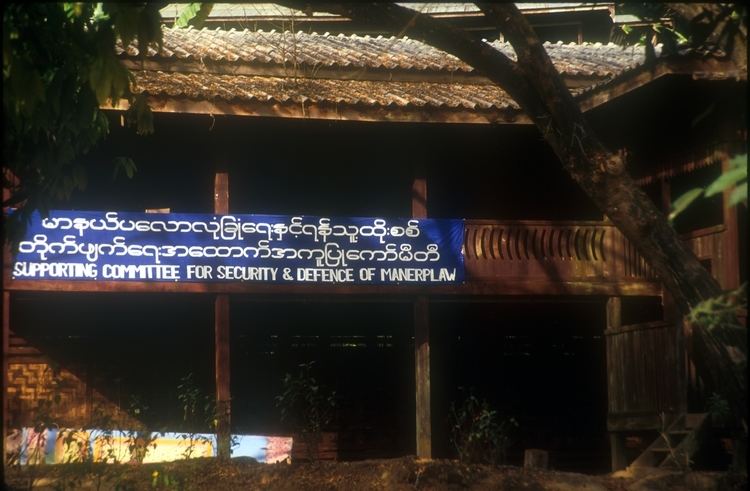
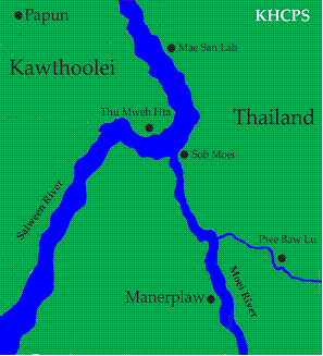
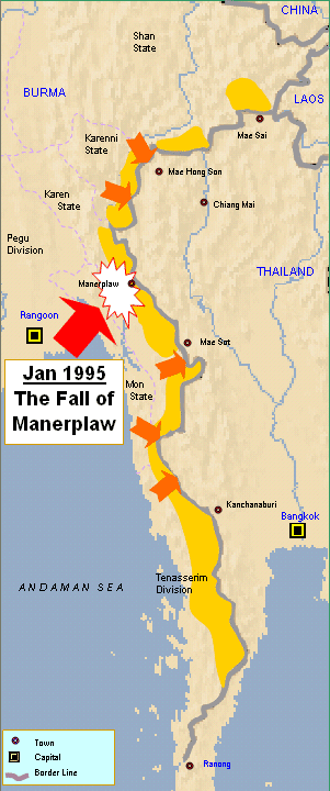
Manerplaw (Burmese: မာနယ်ပလော) was a village in Kayin State, Myanmar (Burma). It was the proposed capital of an independent Karen state, governed by the Karen people. Manerplaw had a population of around 3,000 in 1992 until its evacuation following military offensives by the government.

The headquarters of several opposition groups, most notably the Karen National Union (KNU) and its armed wing, the Karen National Liberation Army (KNLA), were located in Manerplaw until it was captured by Tatmadaw soldiers on 4 February 1995.
References
Manerplaw Wikipedia(Text) CC BY-SA