
 | ||
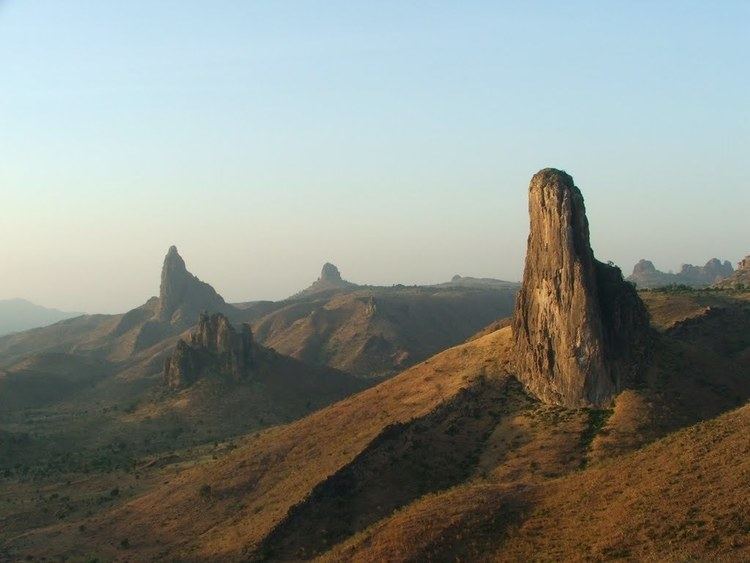
The Mandara Mountains (Monts Mandara) are a volcanic range extending about 200km (about 125 mi) along the northern part of the Cameroon-Nigeria border, from the Benue River in the south (9.3°N 12.8°E / 9.3; 12.8) to the north-west of Maroua in the north (11.0°N 13.9°E / 11.0; 13.9). The highest elevation is 1,494 m (4,900 ft), the summit of Mount Oupay (10°53′N 13°47′E).
Map of Mandara Mountains, Cameroon
The region is densely populated, mainly by speakers of Chadic languages. The Mofu ethnic group lives in the Mandara Mountains.
Extensive archaeological research has been undertaken in the Mandara Mountains, including work at Diy-Gid-Biy (DGB) sites.
References
Mandara Mountains Wikipedia(Text) CC BY-SA