Country Italy Comune Trevi Postcode 06039 Local time Sunday 10:21 PM Province Province of Perugia | Region Umbria Time zone CET (UTC+1) Elevation 509 m Population 100 (2001) Area code 0742 | |
 | ||
Weather 12°C, Wind S at 6 km/h, 80% Humidity | ||
Manciano is a village in the Italian province of Perugia in east central Umbria on a flank of Mt. Matigge, at altitude 509 m above sea-level. It is a frazione of the comune of Trevi, which is 3 km SSW. Its population is approximately 100 inhabitants.
Contents
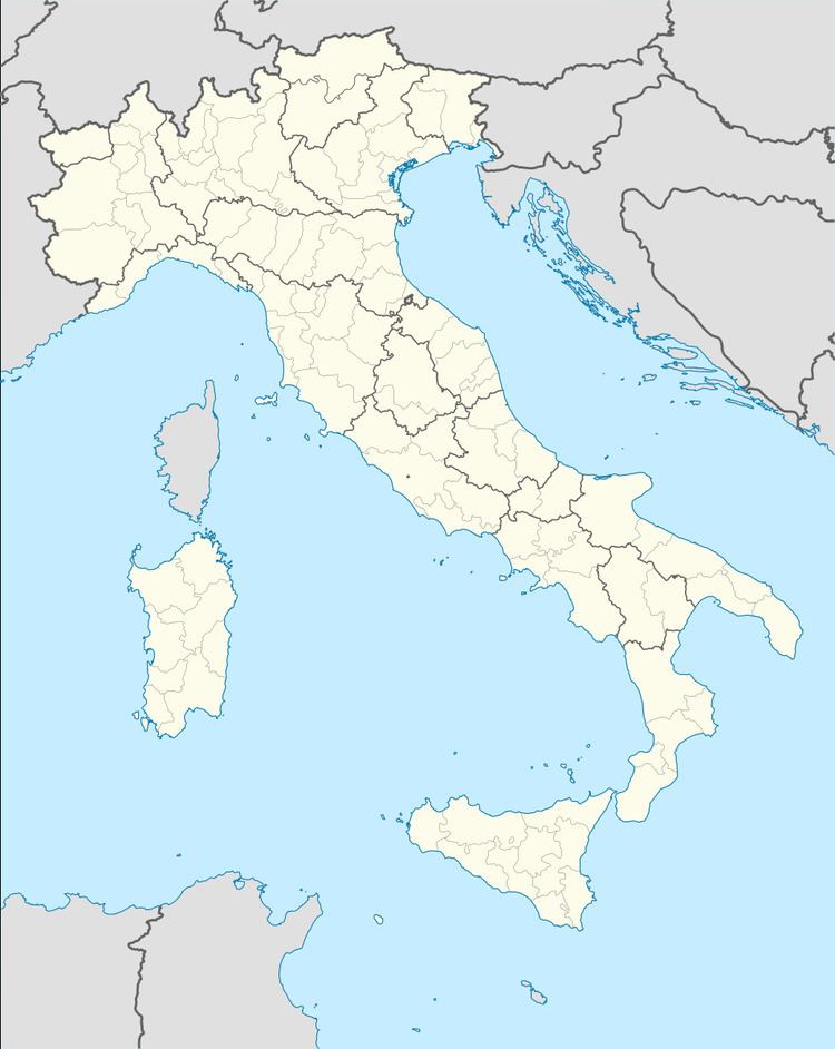
Map of 06039 Manciano, Province of Perugia, Italy
Geography
The frazione extends several kilometers further to the NE into the Apennine range and the hamlet of Ponze at 904 m altitude, with one more medieval church and a good view of central Umbria.
Main sights
The main point of interest of the village is the church of S. Martino and, not far away, the ruins of the Romanesque abbey church of Santo Stefano in Manciano.
References
Manciano (Trevi) Wikipedia(Text) CC BY-SA
