
Country United States GNIS feature ID 453601 Population 3,215 (2010) | FIPS code 18-46368 Elevation 274 m Local time Sunday 4:54 PM | |
 | ||
Weather 8°C, Wind SW at 3 km/h, 53% Humidity Area 117.8 km² (117.8 km² Land / 5 ha Water) | ||
Manchester Township is one of fourteen townships in Dearborn County, Indiana. As of the 2010 census, its population was 3,215 and it contained 1,233 housing units.
Contents
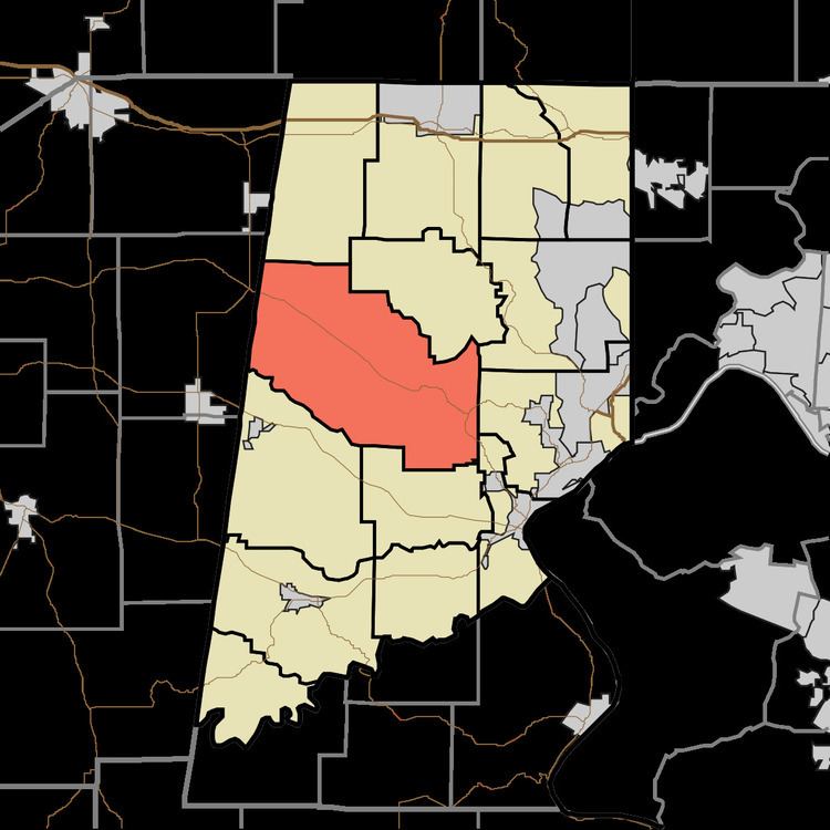
- Map of Manchester Township IN USA
- History
- Geography
- Unincorporated towns
- Major highways
- Cemeteries
- References
Map of Manchester Township, IN, USA
History
The Dearborn County Asylum for the Poor was added to the National Register of Historic Places in 2000.
Geography
According to the 2010 census, the township has a total area of 45.5 square miles (118 km2), of which 45.48 square miles (117.8 km2) (or 99.96%) is land and 0.02 square miles (0.052 km2) (or 0.04%) is water.
Unincorporated towns
(This list is based on USGS data and may include former settlements.)
Major highways
Cemeteries
The township contains three cemeteries: Lowes, Manchester and McKinstry.
References
Manchester Township, Dearborn County, Indiana Wikipedia(Text) CC BY-SA