
Subdistrict Manatuto Subdistrict Elevation 0 cm Local time Monday 4:41 AM | District Manatuto District Climate BSh Area 271.4 km² Population 3,692 (2010) | |
 | ||
Weather 26°C, Wind W at 10 km/h, 97% Humidity | ||
Manatuto is a city of Manatuto District/East Timor.
Map of Manatuto, Timor-Leste
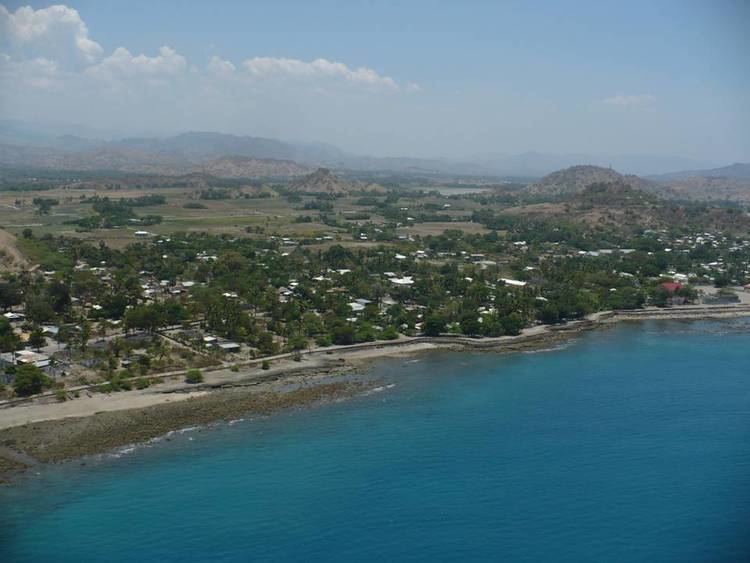
Manatuto Vila has 3,692 inhabitants (Census 2015) and is capital of the subdistrict and district Manatuto. It is on the north coast of Timor, located 64 km to the east of Dili, the national capital, on the way to Baucau. The capital is known for its salt production and abundance of tamarind.
The town of Manatuto suffered an excessive amount of damage and high murder rate in 1999 compared to other locations. The town is still being re-built.
References
Manatuto Wikipedia(Text) CC BY-SA