
District Taolanaro Elevation 16 m Population 19,000 (2001) | Region Anosy Time zone EAT (UTC3) Local time Sunday 10:07 PM | |
 | ||
Weather 25°C, Wind NE at 3 km/h, 90% Humidity | ||
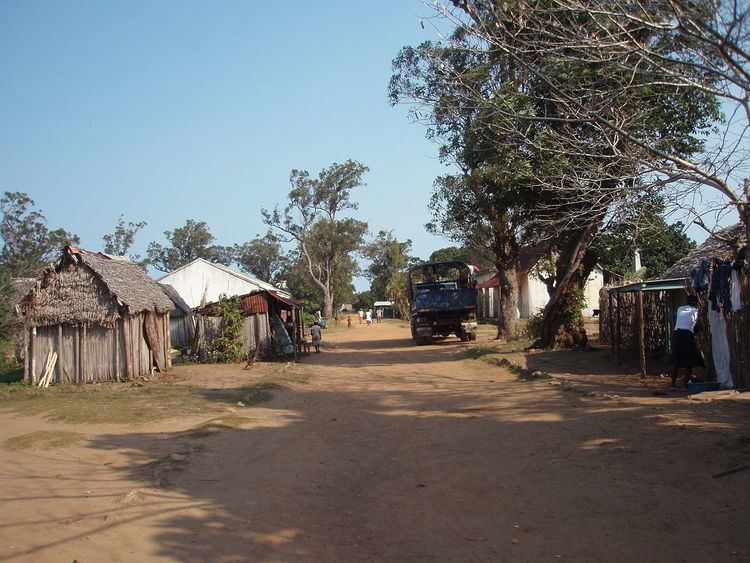
Manantenina is a town and commune in Madagascar. It belongs to the district of Taolanaro, which is a part of Anosy Region.
Map of Manantenina, Madagascar
It is situated at the coast of the Indian Ocean at the unpaved Route nationale 12a.
The population of the commune was estimated to be approximately 19,000 in 2001 commune census.
Primary and junior level secondary education are available in town. The majority 50% of the population works in fishing. 35% are farmers, while an additional 10% receives their livelihood from raising livestock. The most important crop is cassava, while other important products are sweet potatoes and rice. Services provide employment for 5% of the population.
References
Manantenina Wikipedia(Text) CC BY-SA